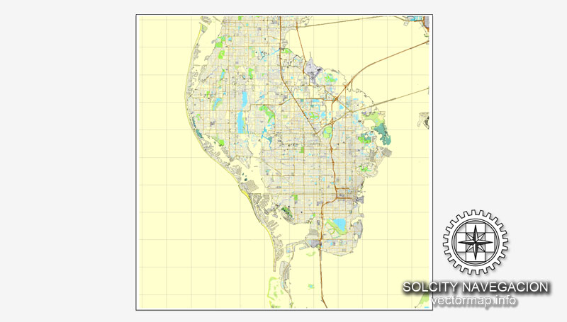
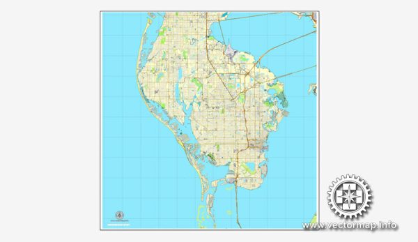
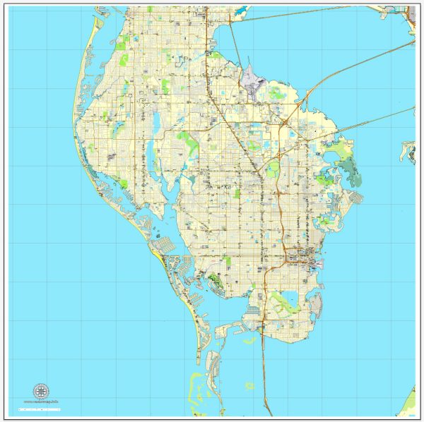
A general overview of St. Petersburg, Florida’s principal waterways, bridges, and main streets and roads. Vectormap.Net provide you with the most accurate and up-to-date vector maps in Adobe Illustrator, PDF and other formats, designed for editing and printing. Please read the vector map descriptions carefully.
Principal Waterways:
- Tampa Bay: St. Petersburg is situated on the western coast of Florida, and Tampa Bay is a significant water body in the region.
- Gulf of Mexico: To the west of St. Petersburg lies the Gulf of Mexico, providing access to open water and beaches.
Bridges:
- Howard Frankland Bridge: Connects St. Petersburg to Tampa across Tampa Bay. It is a major interstate bridge carrying Interstate 275.
- Gandy Bridge: Links St. Petersburg and Tampa across Old Tampa Bay, providing an alternative route to the Howard Frankland Bridge.
- Sunshine Skyway Bridge: A distinctive cable-stayed bridge that spans Tampa Bay, connecting St. Petersburg to Bradenton and Sarasota.
Main Streets and Roads:
- Central Avenue: A prominent east-west thoroughfare running through the heart of downtown St. Petersburg, known for its shops, restaurants, and cultural venues.
- 4th Street North (U.S. 92): A major north-south artery connecting downtown St. Petersburg to neighboring areas and communities.
- I-275: A major interstate highway passing through St. Petersburg, connecting it to Tampa to the north and Sarasota to the south.
- 22nd Avenue North and South: Important east-west corridors in the city.
- MLK Jr. Street North (9th Street): Another significant north-south route in St. Petersburg.
Waterfront Areas:
- Vinoy Park and Beach Drive: Along the downtown waterfront, known for parks, upscale shops, and dining options.
- St. Pete Beach: Located southwest of downtown, this area offers beautiful sandy beaches and resorts.
Remember to verify this information with more recent sources, as urban development and infrastructure can change over time. Local maps, city planning websites, or navigation apps can provide up-to-date details on St. Petersburg’s waterways, bridges, and road networks.


 Author: Kirill Shrayber, Ph.D. FRGS