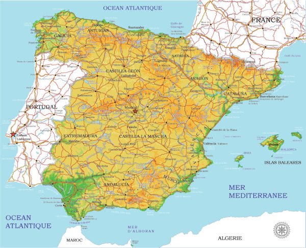
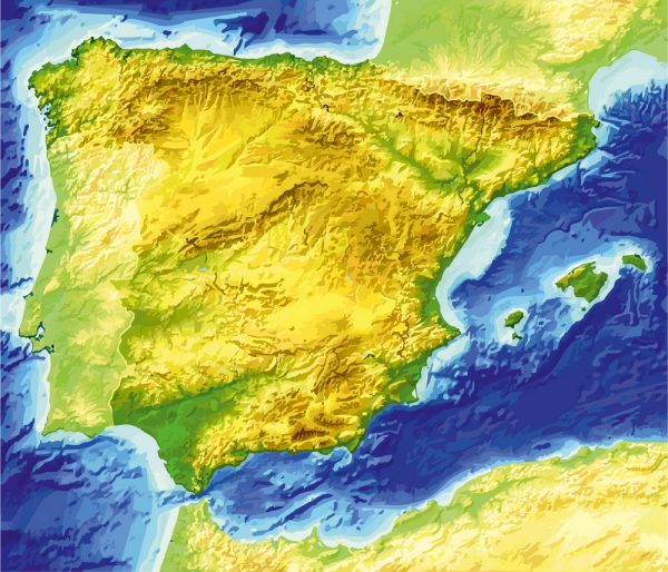
Spain is a diverse and geographically varied country with a rich cultural heritage. Here is a brief description of some of its principal cities, notable waterways, and main roads:
Principal Cities:
- Madrid: The capital and largest city of Spain, located in the heart of the country. Known for its cultural attractions, historic sites, and vibrant nightlife.
- Barcelona: Located on the northeastern coast, Barcelona is the capital of Catalonia and is famous for its unique architecture, including the works of Antoni Gaudí.
- Valencia: Situated on the eastern coast, Valencia is known for its futuristic City of Arts and Sciences, beautiful beaches, and the lively Turia Gardens.
- Seville: In the southern part of the country, Seville is renowned for its historic Moorish architecture, the Alcazar, and the iconic Giralda tower.
- Bilbao: Located in the Basque Country in the north, Bilbao is known for the Guggenheim Museum, which is a masterpiece of modern architecture.
- Granada: Nestled in the foothills of the Sierra Nevada mountains, Granada is famous for the Alhambra, a stunning palace and fortress complex.
- Zaragoza: Situated in the northeast, Zaragoza is known for its rich history, including the Basilica of Our Lady of the Pillar and the Aljafería Palace.
Waterways:
- Tagus River (Río Tajo): The longest river on the Iberian Peninsula, flowing through Spain and Portugal. It passes through the capital, Madrid.
- Ebro River (Río Ebro): The second longest river in Spain, flowing from the Cantabrian Mountains to the Mediterranean Sea, passing through cities like Zaragoza.
- Guadalquivir River: The major river of Andalusia, flowing through Seville and other cities in southern Spain.
- Duero River (Río Duero): Flowing from the mountains of northern Spain to Portugal, it forms part of the border between the two countries.
Main Roads:
- Autovía and Autopista Network: Spain has an extensive network of highways, known as autovías and autopistas, connecting major cities and regions.
- AP-7 (Autopista del Mediterráneo): A major toll highway along the eastern coast, connecting cities like Barcelona and Valencia.
- A-1 (Autovía del Norte): A significant north-south highway connecting Madrid with cities in northern Spain.
- A-4 (Autovía del Sur): Links Madrid with Andalusia in the south, passing through cities like Cordoba and Seville.
- A-6 (Autovía del Noroeste): Connects Madrid with the northwest region, passing through cities like Segovia and León.
- A-3 (Autovía del Este): Connects Madrid with the eastern part of Spain, passing through Valencia.
These are just a few highlights, and Spain has a well-developed transportation infrastructure that includes high-speed trains, airports, and an extensive network of roads and highways.

 Author: Kirill Shrayber, Ph.D.