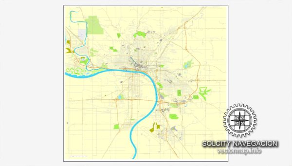
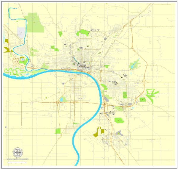
Vector Maps of the Sioux City : city, seat (1856) of Woodbury county, northwestern Iowa, U.S. It lies on the Missouri River (bridged to South Sioux City, Nebraska) at the influx of the Big Sioux and Floyd rivers, where Iowa, South Dakota, and Nebraska meet. The former territory of Omaha, Sioux, and Oto peoples, the site was visited in 1804 by the Lewis and Clark Expedition; Sergeant Charles Floyd, the expedition’s only fatality, was buried there (commemorated by a monument erected in 1960, the first U.S. national historic landmark). Laid out in 1848 by William Thompson of Illinois and initially known as Thompsonville, it was subsequently settled by Theophile Bruguier, a French-Canadian trader, who arrived in 1849 with his Sioux wives and their father, Chief War Eagle, who aided the European pioneers in the area. War Eagle’s grave is in a park on a bluff overlooking the river with a view of the three states. Incorporated in 1857, the community was renamed for the chief’s tribe. It grew with the steamboat trade and became a supply and land-office depot for the northern plains. With the advent of the railroad (1868) and the meat-packing industry (1872), its population increased rapidly.
Area:
• City: 59.62 sq mi (154.42 km2)
• Land: 58.45 sq mi (151.40 km2)
• Water: 1.17 sq mi (3.02 km2)
Instant download archives: royalty free, editable vector maps of Sioux City Iowa in high resolution digital PDF and Adobe Illustrator format.
All of our editable Sioux City Iowa vector maps are digital files,
which can be instantly downloaded in editable PDF or Adobe Illustrator format.
Objects on maps are usually divided into layers according to their types – lines, polygons, street names, object names (see map description!!!!)
Each of our Sioux City Iowa digital maps is available in Adobe Illustrator or editable PDF format, (or on request in any other known format for the same price)
which use a vector approach to display images,
you can easily enlarge any part of our maps without compromising text, line or graphic quality,
with any increase or decrease ratio.
Using a vector graphics editor such as Adobe Illustrator, CorelDraw, Inkscape, or Freehand
you can easily crop parts of the map, add custom characters, and change colors and font attributes as needed.
We have a variety of Sioux City Iowa vector maps with different levels of detail, from simple empty paths to highly detailed maps with roads and terrain layers.
Don’t see exactly what you’re looking for? Contact us to receive a special offer for an individual Sioux City Iowa map for your project.


 Author: Kirill Shrayber, Ph.D.