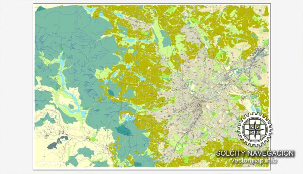
A general overview of the principal roads and railroads in Sheffield, UK. Vectormap.Net provide you with the most accurate and up-to-date vector maps in Adobe Illustrator, PDF and other formats, designed for editing and printing. Please read the vector map descriptions carefully.
Principal Roads:
- M1 Motorway:
- The M1 is a major north-south motorway that passes close to Sheffield. It connects London to Leeds and serves as a crucial transportation route.
- Sheffield Parkway (A57):
- This road connects Sheffield to the M1 motorway and provides a direct route into the city center.
- Inner Ring Road:
- Sheffield has an inner ring road encircling the city center, including roads like the A61 and A57. These routes help manage traffic flow within the city.
- A61:
- The A61 is an important north-south road that passes through Sheffield, connecting the city to destinations such as Chesterfield and Leeds.
- A616:
- This road connects Sheffield to the M1 motorway and goes northwest toward the Peak District.
- A629:
- The A629 runs through Sheffield and connects the city to nearby towns like Chesterfield and Halifax.
Railroads:
- Sheffield Railway Station:
- Sheffield’s main railway station is a major transportation hub with connections to various destinations across the country.
- Midland Main Line:
- The Midland Main Line runs through Sheffield, connecting the city to London in the south and various other cities to the north.
- TransPennine Express:
- Sheffield is served by TransPennine Express services, providing rail connections to cities across the Pennines, including Manchester, Leeds, and York.
- Northern Rail Services:
- Northern Rail services also operate in Sheffield, connecting the city to other towns and cities in the northern region.
- Sheffield Supertram:
- The Sheffield Supertram is a light rail network that serves the city and its suburbs, providing convenient transportation within Sheffield.
- Freight Railways:
- Sheffield is connected to the national freight rail network, facilitating the transportation of goods.
Please note that infrastructure and transportation networks can change, so it’s recommended to check with local authorities or transportation agencies for the most up-to-date information on roads and railroads in Sheffield.


 Author: Kirill Shrayber, Ph.D. FRGS