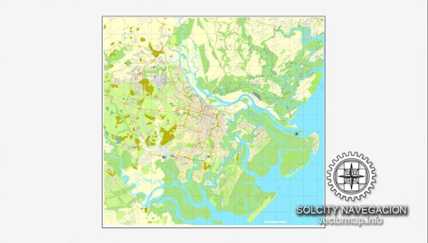
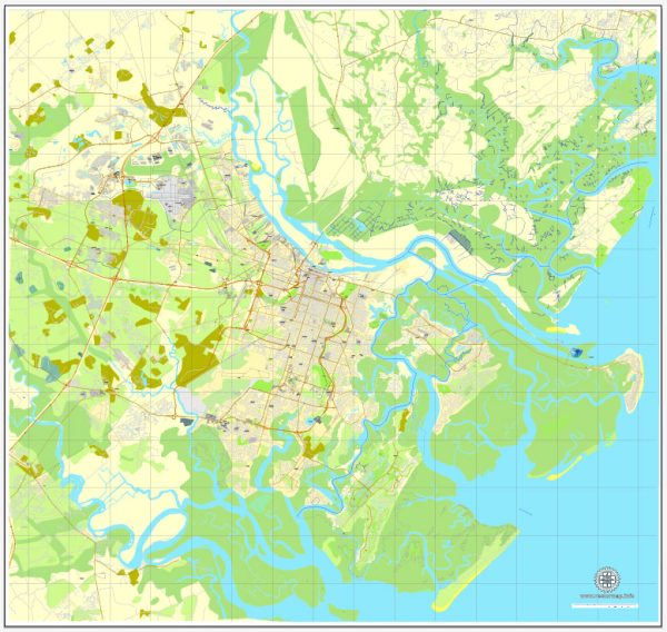
A general overview of the principal roads and railroads in Savannah, Georgia. Vectormap.Net provide you with the most accurate and up-to-date vector maps in Adobe Illustrator, PDF and other formats, designed for editing and printing. Please read the vector map descriptions carefully.
Principal Roads:
- Interstate 16 (I-16): I-16 is a major east-west interstate highway that passes through Savannah. It connects the city to Macon and ultimately to Atlanta in the west.
- Interstate 95 (I-95): I-95 is a major north-south interstate highway that runs along the eastern coast of the United States. It passes through Savannah, providing a crucial route for travelers going between Florida and the northeastern states.
- U.S. Route 80 (US 80): This route connects Savannah to Tybee Island and extends westward to Alabama. It plays a significant role in local and regional transportation.
- Georgia State Route 21 (SR 21): SR 21 is a north-south state highway that runs through Savannah, connecting it to Rincon and Springfield to the north.
- Georgia State Route 204 (SR 204): SR 204 is an east-west state route that connects Savannah to Interstate 95 and serves as a vital corridor for local traffic.
- Abercorn Street: Abercorn Street is one of the main north-south thoroughfares in Savannah, serving as a key route for local traffic.
Railroads:
Savannah has a well-developed railroad infrastructure due to its importance as a major port city. The primary railroad operator in the area is CSX Transportation. The rail network connects Savannah to various parts of the country, facilitating the transportation of goods to and from the Port of Savannah.
Port of Savannah:
While not a road or railroad, it’s worth mentioning the Port of Savannah, one of the busiest and fastest-growing seaports in the United States. The port plays a crucial role in international trade and is a major gateway for goods moving in and out of the Southeastern United States.
Please note that changes or expansions in infrastructure may have occurred since my last update, so it’s recommended to verify this information with local authorities or recent sources for the most accurate details.


 Author: Kirill Shrayber, Ph.D. FRGS