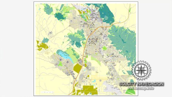
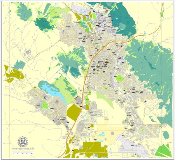
San Luis Obispo (SLO) is a charming city located in central California, known for its picturesque landscapes, historic architecture, and vibrant community. While San Luis Obispo doesn’t have major waterways or large bridges like some other cities, it is characterized by its unique geography and urban layout. Vectormap.Net provide you with the most accurate and up-to-date vector maps in Adobe Illustrator, PDF and other formats, designed for editing and printing. Please read the vector map descriptions carefully.
1. Waterways: San Luis Obispo is not situated directly along major rivers or coastal waterways. The city is located inland, and while there are some smaller creeks and streams in the surrounding areas, they do not play a significant role in the city’s infrastructure or transportation.
2. Bridges: The city does have several smaller bridges that span over local creeks and streams, contributing to the overall connectivity of the area. However, these are not large, iconic structures like those found in some other cities. The landscape is characterized more by rolling hills and open spaces.
3. Main Streets: The downtown area of San Luis Obispo is centered around Higuera Street, which serves as one of the main thoroughfares through the city. Higuera Street is lined with shops, restaurants, and historic buildings, creating a vibrant and pedestrian-friendly atmosphere.
Other notable streets in San Luis Obispo include:
- Marsh Street: Running parallel to Higuera Street, Marsh Street is another important thoroughfare in the city, providing access to various neighborhoods and commercial areas.
- Santa Rosa Street: This street intersects with Higuera Street and is known for its historic architecture and unique shops.
- Osos Street: Another downtown street that contributes to the city’s charm and character.
- Monterey Street: This street also runs through the downtown area, offering a mix of businesses and attractions.
- Broad Street: Connecting the downtown area to the northern parts of the city, Broad Street is an essential route for local transportation.
San Luis Obispo is designed to be walkable and bike-friendly, encouraging residents and visitors to explore the city on foot or by alternative means of transportation. The city’s layout, surrounded by natural beauty and open spaces, contributes to its overall appeal.


 Author: Kirill Shrayber, Ph.D. FRGS