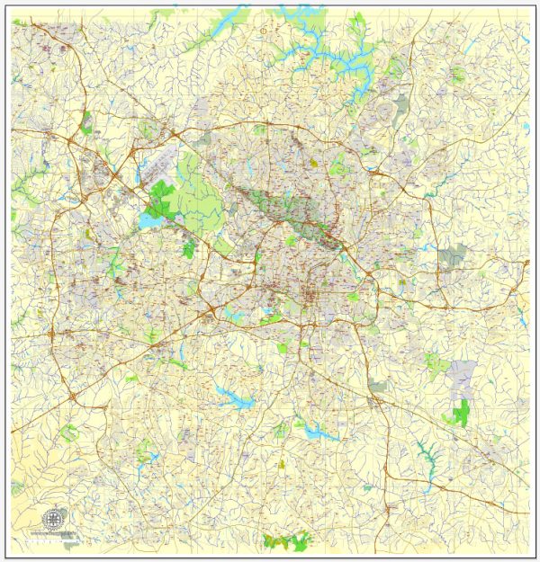
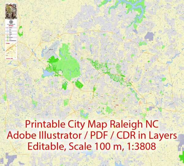
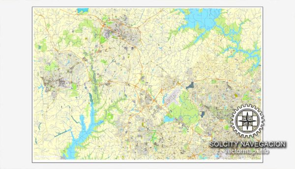
Raleigh, the capital of North Carolina, is located in the central part of the state. While Raleigh doesn’t have major waterways passing through it like some other cities, there are several smaller creeks and streams in the area. The city is part of the larger Research Triangle region, which includes Durham and Chapel Hill, and is known for its universities, research institutions, and technology companies.
Waterways:
- Neuse River: While not directly flowing through downtown Raleigh, the Neuse River is one of the major waterways in the region. It runs to the east of the city and is a popular spot for outdoor activities such as hiking, biking, and kayaking.
- Crabtree Creek: This creek flows through the northern part of Raleigh and has greenways along its banks, providing recreational opportunities.
Bridges:
- Capital Boulevard Bridge: This bridge spans over the Capital Boulevard, a major road in Raleigh. It is a key transportation route connecting different parts of the city.
- Glenwood Avenue Bridge: Crossing over the Glenwood Avenue, this bridge is a significant structure in the downtown area.
- Wade Avenue Bridge: Wade Avenue is an important roadway in Raleigh, and the bridge over it is a key part of the city’s transportation infrastructure.
Main Streets:
- Fayetteville Street: This is one of the main thoroughfares in downtown Raleigh, lined with shops, restaurants, and cultural venues.
- Glenwood Avenue: Running through the heart of the city, Glenwood Avenue is a major north-south corridor with various businesses and entertainment options.
- Capital Boulevard: A crucial north-south route, Capital Boulevard connects downtown Raleigh with the northern parts of the city and beyond.
- Hillsborough Street: This street runs through the western side of downtown Raleigh and is known for its association with North Carolina State University.
Raleigh is continually evolving, and new developments may impact its infrastructure. For the most up-to-date and detailed information, it’s advisable to refer to local city planning documents or resources.
Vectormap.Net provide you with the most accurate and up-to-date vector maps in Adobe Illustrator, PDF and other formats, designed for editing and printing. Please read the vector map descriptions carefully.


 Author: Kirill Shrayber, Ph.D. FRGS