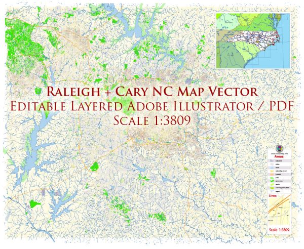
Raleigh, Cary, and Durham are three cities located in the Research Triangle region of North Carolina, USA. Each city has its own unique features, including waterways, bridges, and main streets. Here’s a brief overview of these aspects in each city:
Raleigh:
- Waterways: The city of Raleigh is situated in the central part of North Carolina and is not directly along a major river. However, there are several smaller creeks and streams in the area, such as Walnut Creek and Crabtree Creek.
- Bridges: Raleigh has various bridges that span over its creeks and streams, providing connectivity across the city. Examples include the Capital Boulevard Bridge and the Wade Avenue Bridge.
- Main Streets: Downtown Raleigh is characterized by streets like Fayetteville Street, which serves as a central hub for dining, shopping, and entertainment. Other notable streets include Hillsborough Street and Glenwood Avenue.
Cary:
- Waterways: Cary, located to the west of Raleigh, is known for its planned communities and green spaces. Swift Creek and its tributaries are among the water features in Cary.
- Bridges: Notable bridges in Cary include those over Swift Creek, such as the Kildaire Farm Road Bridge and the Cary Parkway Bridge.
- Main Streets: Downtown Cary, centered around Academy Street, is a focal point for local businesses, restaurants, and cultural events. Cary is also well-connected through major roads like the Cary Parkway.
Durham:
- Waterways: Durham is situated to the northwest of Raleigh and has the Eno River running through parts of the city. The river and its tributaries contribute to the natural beauty of the area.
- Bridges: Durham features several bridges, including those spanning the Eno River, such as the West Club Boulevard Bridge and the Guess Road Bridge.
- Main Streets: Downtown Durham is centered around Main Street and offers a mix of historic and modern architecture. Ninth Street and Broad Street are also notable areas with shops, restaurants, and cultural attractions.
The Triangle area, formed by Raleigh, Durham, and Chapel Hill, is well-connected through an extensive network of highways, including I-40, I-440, and I-540, facilitating easy travel between these cities. Additionally, the Research Triangle Park (RTP) is a major economic and technological hub situated between Durham and Raleigh.
Vectormap.Net provide you with the most accurate and up-to-date vector maps in Adobe Illustrator, PDF and other formats, designed for editing and printing. Please read the vector map descriptions carefully.


 Author: Kirill Shrayber, Ph.D. FRGS