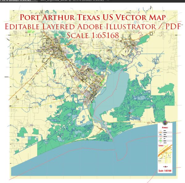
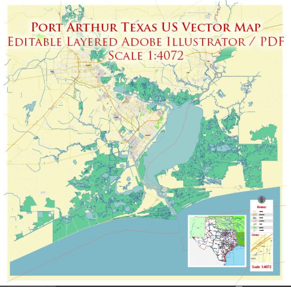
Port Arthur, Texas, is a city located in the southeastern part of the state, near the Gulf of Mexico. Vectormap.Net provide you with the most accurate and up-to-date vector maps in Adobe Illustrator, PDF and other formats, designed for editing and printing. Please read the vector map descriptions carefully. A general overview based on common features found in cities.
- Waterways:
- Sabine Lake: Port Arthur is situated on the shores of Sabine Lake, a large saltwater estuary formed by the confluence of the Sabine River and the Gulf of Mexico. The Sabine-Neches Waterway, an important navigational channel, connects Port Arthur to the Gulf of Mexico.
- Bridges:
- Rainbow Bridge: The Rainbow Bridge is a notable landmark in Port Arthur. It spans the Neches River, connecting Port Arthur to Bridge City. The bridge is characterized by its rainbow-like color scheme and is an important transportation link in the region.
- Main Streets:
- Gulfway Drive: This is a major thoroughfare in Port Arthur that runs along the waterfront and provides access to industrial and commercial areas.
- Memorial Boulevard: Another significant road in the city, Memorial Boulevard, may offer access to various businesses, residential areas, and possibly recreational facilities.
- Twin City Highway: This highway connects Port Arthur with its neighboring city, Nederland, and provides a route for commuters and travelers.
Keep in mind that the specifics may have changed, and new developments may have occurred since my last update. For the most accurate and up-to-date information, it’s recommended to check with local authorities, maps, or online resources specific to Port Arthur.


 Author: Kirill Shrayber, Ph.D. FRGS