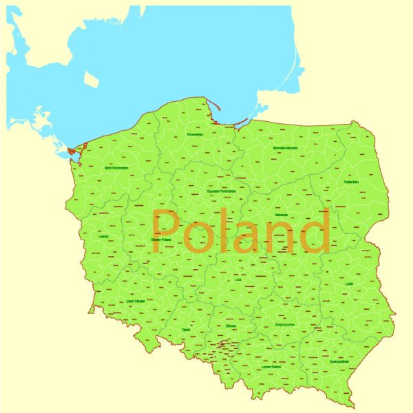
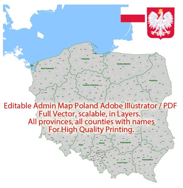
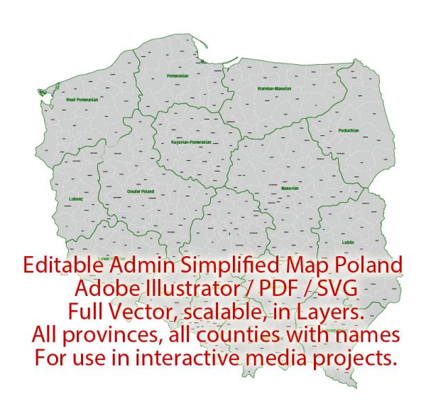
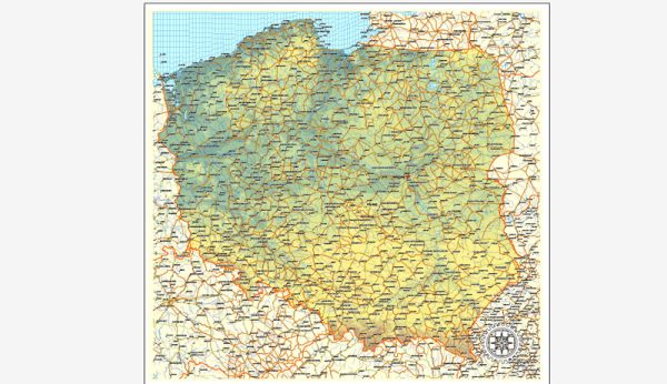
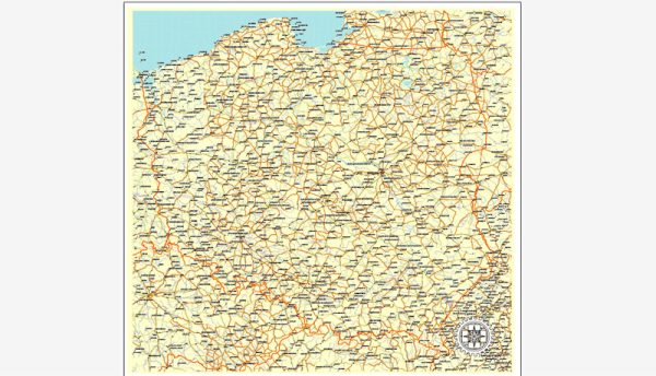
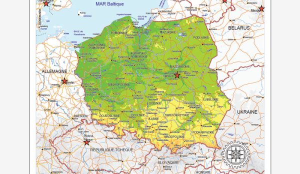
Information about Poland’s principal cities, waterways, and main roads. Vectormap.Net provide you with the most accurate and up-to-date vector maps in Adobe Illustrator, PDF and other formats, designed for editing and printing. Please read the vector map descriptions carefully.
Principal Cities:
- Warsaw (Warszawa): The capital and largest city of Poland, located in the central part of the country.
- Krakow (Kraków): A historic city in southern Poland, known for its medieval architecture and cultural heritage.
- Wroclaw (Wrocław): Situated in western Poland, Wroclaw is known for its picturesque Old Town and numerous bridges.
- Poznan (Poznań): Located in western Poland, Poznan is one of the country’s oldest and largest cities.
- Gdansk: A port city on the Baltic coast, Gdansk is known for its rich history and maritime significance.
- Szczecin: Another important port city, located in the northwest near the German border.
- Lodz: Situated in central Poland, Lodz is a major industrial and cultural center.
Waterways:
- Vistula River (Wisła): The longest river in Poland, flowing through the country from south to north and passing through Warsaw.
- Oder River (Odra): Another significant river, forming part of the western border with Germany.
- Warta River: The third-longest river in Poland, flowing through the western and central parts of the country.
- Bug River: A major tributary of the Vistula River, flowing through eastern Poland.
Main Roads:
- A1 Motorway: Connecting Gdansk in the north with the southern city of Czestochowa, passing through cities like Warsaw and Lodz.
- A2 Motorway: Connecting the western city of Poznan with the eastern city of Warsaw, and further east towards the border with Belarus.
- A4 Motorway: Running from the western border with Germany near the city of Wroclaw to the eastern border with Ukraine.
- S7 Expressway: Connecting Gdansk in the north with Krakow in the south, passing through Warsaw.
- S8 Expressway: Stretching from the northwest near Wroclaw to the northeastern city of Bialystok.
Please note that Poland may have developed new infrastructure or undergone changes since my last update, so it’s advisable to check more recent sources for the latest information.

 Author: Kirill Shrayber, Ph.D. FRGS