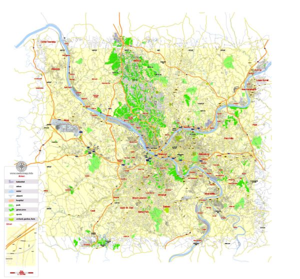
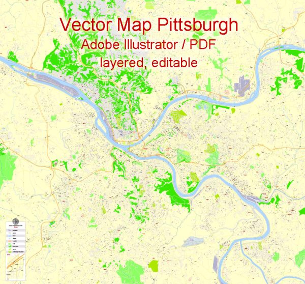
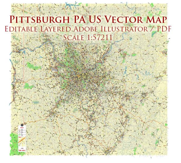
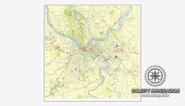
Pittsburgh, Pennsylvania, is a city known for its three rivers—the Allegheny, Monongahela, and Ohio—which converge at the Point, forming a distinctive triangle in the heart of the city. The city’s topography is characterized by hills and valleys, and its layout has been influenced by its unique geography.
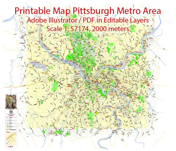
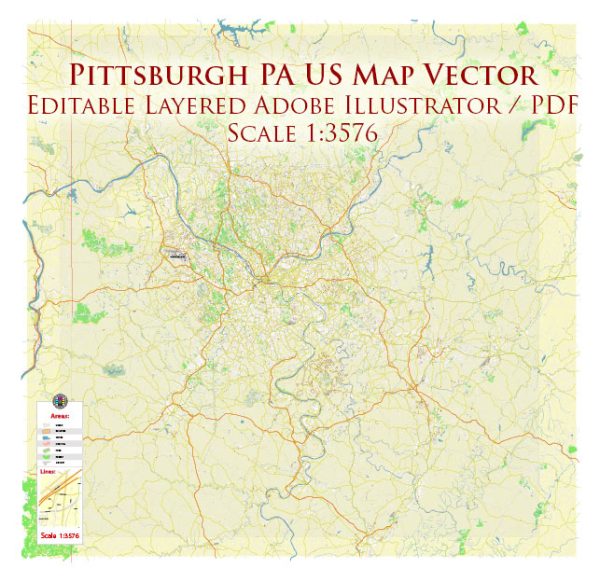
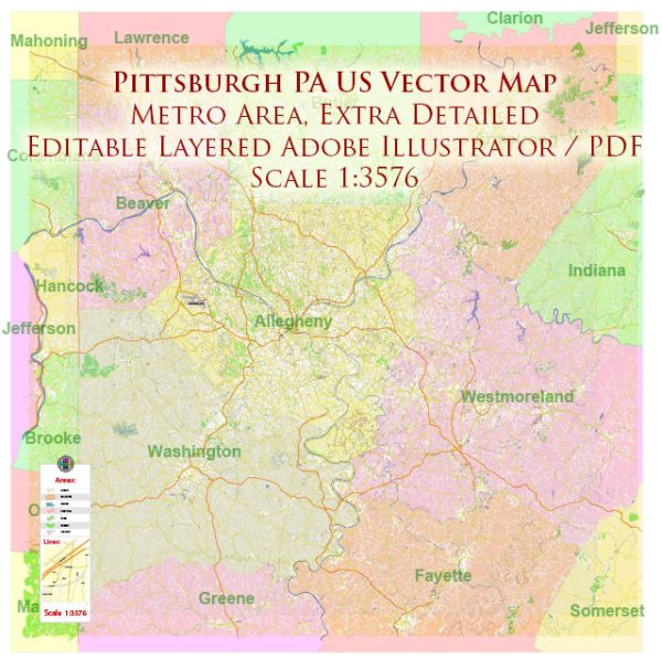
Vectormap.Net provide you with the most accurate and up-to-date vector maps in Adobe Illustrator, PDF and other formats, designed for editing and printing. Please read the vector map descriptions carefully.
Principal Waterways:
- Allegheny River: Flowing south to north, the Allegheny River joins the Monongahela River at the Point to form the Ohio River.
- Monongahela River: Flowing north to south, the Monongahela River merges with the Allegheny River at the Point, creating the Ohio River.
- Ohio River: Formed by the confluence of the Allegheny and Monongahela Rivers, the Ohio River flows southwest, serving as a major tributary to the Mississippi River.
Bridges:
Pittsburgh is often referred to as the “City of Bridges” due to its numerous river crossings. Some of the notable bridges include:
- Three Sisters Bridges: These three nearly identical self-anchored suspension bridges connect downtown Pittsburgh with the North Shore. The names of the bridges, from west to east, are the Roberto Clemente Bridge, the Andy Warhol Bridge, and the Rachel Carson Bridge.
- Fort Duquesne Bridge: Crossing the Allegheny River, this bridge connects downtown Pittsburgh with the North Shore.
- Fort Pitt Bridge: Spanning the Monongahela River, this bridge connects downtown with the South Shore and provides access to the Fort Pitt Tunnel.
- Smithfield Street Bridge: One of the oldest steel bridges in the United States, it crosses the Monongahela River, connecting downtown with the South Shore.
- Liberty Bridge: Connecting downtown with the South Hills, this bridge spans the Monongahela River.
- West End Bridge: Crossing the Ohio River, this bridge connects the West End neighborhood with the North Shore.
Main Streets:
- Downtown Pittsburgh: The central business district with iconic landmarks such as Point State Park, Market Square, and PPG Place.
- Liberty Avenue: Running through Bloomfield, the Strip District, and beyond, Liberty Avenue is known for its diverse shops and restaurants.
- Penn Avenue: Stretching through neighborhoods like Lawrenceville and East Liberty, Penn Avenue is home to a mix of residential, commercial, and cultural establishments.
- Forbes Avenue: Passing through Oakland, Forbes Avenue is closely associated with the University of Pittsburgh and Carnegie Mellon University.
- East Carson Street: Located in the South Side neighborhood, East Carson Street is famous for its vibrant nightlife, shops, and entertainment options.
- W Carson Street: Running through the West End, this street provides access to the West End Bridge and offers scenic views of the city.
These waterways, bridges, and streets contribute to the unique character and layout of Pittsburgh, making it a city with a rich industrial history and a distinctive urban landscape.

 Author: Kirill Shrayber, Ph.D. FRGS