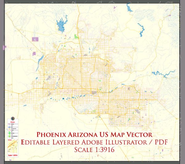
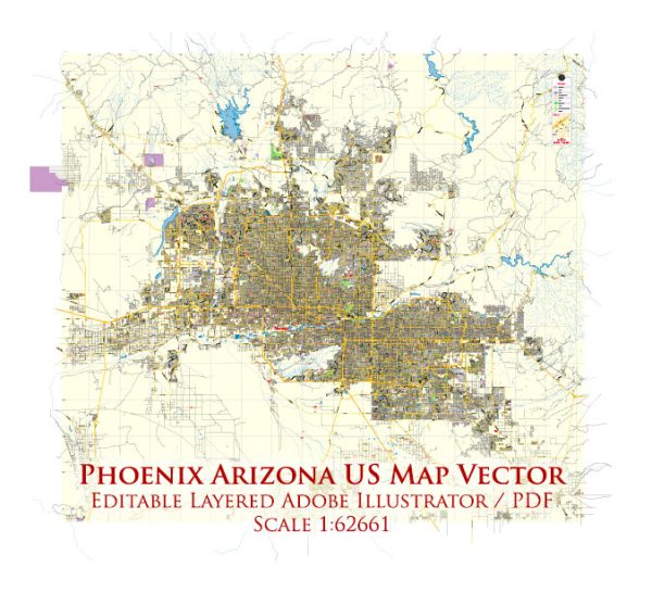
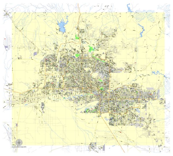
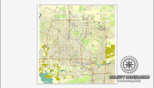
Phoenix, Arizona, is located in the Sonoran Desert and is known for its warm climate and sprawling urban landscape. While Phoenix is not characterized by extensive waterways like some other cities, it does have some notable features in terms of water, bridges, and main streets:
- Salt River: The Salt River runs through the Phoenix metropolitan area. While it may not be a major navigable waterway, it has played a significant role in the history of the region and continues to be an important source of water for the area. Several dams and reservoirs have been constructed along the Salt River to manage water resources.
- Tempe Town Lake: Although technically a reservoir, Tempe Town Lake is a significant body of water in the Phoenix area. It was created by damming a portion of the Salt River and has become a popular recreational area with parks, walking paths, and boating facilities.
- Bridges: One notable bridge in the Phoenix area is the Mill Avenue Bridge, which spans Tempe Town Lake. This bridge is a key component of Mill Avenue, a historic street in Tempe that is lined with shops, restaurants, and entertainment venues.
- Main Streets:
- Central Avenue: One of the main north-south thoroughfares in Phoenix, Central Avenue runs through the heart of the city and is home to various businesses, government offices, and cultural institutions.
- Van Buren Street: Running east-west through downtown Phoenix, Van Buren Street has historically been a significant route with a mix of commercial, residential, and cultural establishments.
- Camelback Road: This major east-west road is known for its commercial and retail developments, including the upscale Biltmore area.
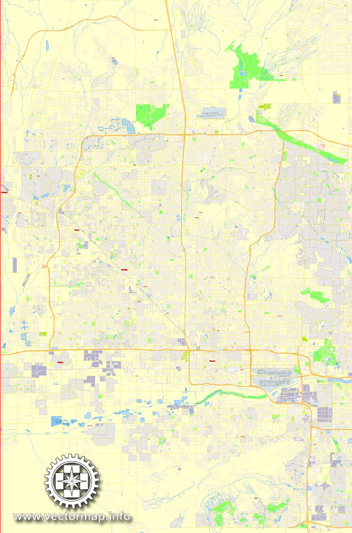
It’s worth noting that the layout of Phoenix is characterized by a grid system, making navigation relatively straightforward. The city has experienced significant growth, resulting in a network of major streets and highways connecting various neighborhoods and suburbs. While water features may not be as prominent as in some other cities, the urban planning and development of Phoenix contribute to its unique character in the arid southwestern landscape.
Vectormap.Net provide you with the most accurate and up-to-date vector maps in Adobe Illustrator, PDF and other formats, designed for editing and printing. Please read the vector map descriptions carefully.

 Author: Kirill Shrayber, Ph.D. FRGS