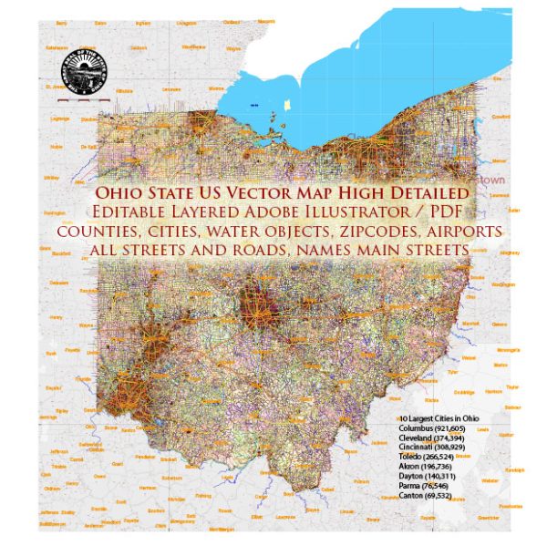
Ohio is a state located in the Midwestern region of the United States. The state is characterized by diverse landscapes, including urban areas, rural countryside, and various waterways. Here’s a description of some principal cities, waterways, and main roads in Ohio:
Principal Cities:
- Columbus:
- Columbus is the state capital and the largest city in Ohio.
- It is known for its diverse economy, including finance, education, healthcare, and technology.
- The Ohio State University, one of the largest universities in the country, is located in Columbus.
- Cleveland:
- Located on the shores of Lake Erie, Cleveland is a major port city.
- Known for its cultural institutions, including the Cleveland Museum of Art and the Rock and Roll Hall of Fame.
- Cleveland is a hub for healthcare and manufacturing industries.
- Cincinnati:
- Situated on the Ohio River, Cincinnati has a rich history and is known for its German heritage.
- It has a vibrant arts scene, with museums, theaters, and a famous zoo.
- The city is an important economic and cultural center in the region.
- Toledo:
- Located near the western edge of Lake Erie, Toledo is a port city with a significant industrial presence.
- It is known for its glass industry and is often referred to as the “Glass City.”
- Toledo has a strong focus on arts and education.
Waterways:
- Ohio River:
- The Ohio River forms the southern border of Ohio and is a major tributary of the Mississippi River.
- It has played a crucial role in the state’s history and economy, serving as a transportation route for goods.
- Lake Erie:
- Lake Erie, one of the Great Lakes, forms the northern border of Ohio.
- It is a significant water resource and supports various recreational activities, including boating and fishing.
Main Roads:
- Interstate 71 (I-71):
- Runs north-south through the state, connecting Cincinnati, Columbus, and Cleveland.
- Major cities served include Cincinnati, Columbus, and Cleveland.
- Interstate 70 (I-70):
- Crosses the state from the west to the east, connecting cities such as Dayton, Columbus, and Zanesville.
- A key route for east-west transportation.
- Interstate 75 (I-75):
- Runs north-south and is a major route connecting Toledo, Dayton, and Cincinnati.
- It is a crucial transportation corridor in the western part of the state.
- U.S. Route 30 (US 30):
- Runs east-west across northern Ohio, connecting cities like Toledo, Mansfield, and Canton.
- It is an important route for both local and interstate travel.
These descriptions provide a broad overview of some key features of Ohio, but keep in mind that there are many more cities, waterways, and roads contributing to the state’s diverse geography and economic activities.


 Author: Kirill Shrayber, Ph.D. FRGS