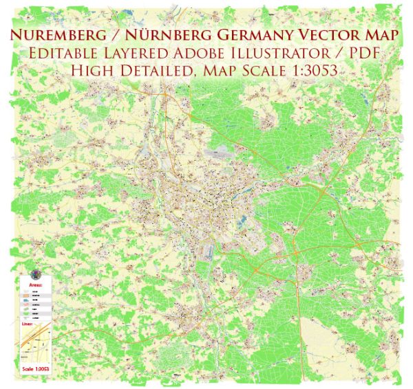
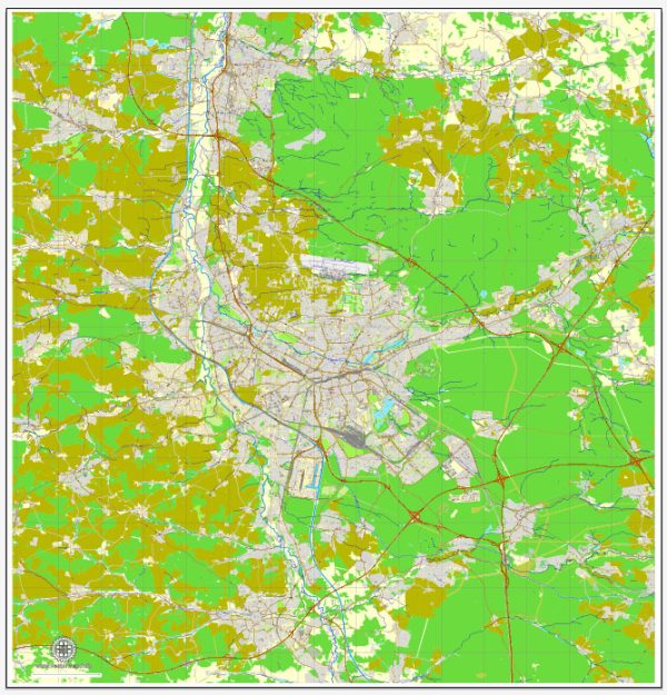
Nuremberg, a city in the Bavaria region of Germany, is situated on the Pegnitz River. The city’s principal waterway is the Pegnitz River itself, which flows through the heart of Nuremberg. The river plays a significant role in shaping the cityscape and providing a picturesque setting for various activities.
Principal Waterways:
- Pegnitz River: The Pegnitz River is the main waterway in Nuremberg, dividing the Old Town into two halves. The riverbanks are adorned with charming buildings, historic structures, and green spaces, making it a popular area for both locals and tourists.
Bridges:
- Maxbrücke (Max Bridge): One of the notable bridges in Nuremberg, Maxbrücke spans the Pegnitz River, connecting the eastern and western parts of the Old Town. It offers excellent views of the river and the surrounding architecture.
- Kettensteg (Chain Bridge): This is a pedestrian chain bridge that provides a unique crossing over the Pegnitz River. It is one of the oldest chain bridges in Germany, dating back to the 19th century.
- Mühlsteg: Another pedestrian bridge, Mühlsteg, links the districts of St. Sebald and St. Lorenz, offering a scenic walk over the Pegnitz.
Main Streets:
- Königstraße: This is one of the main streets in Nuremberg’s Old Town and serves as a central shopping area. It is lined with shops, cafes, and historical buildings.
- Lorenzer Straße: Running through the Old Town, Lorenzer Straße is a charming street with a mix of shops, restaurants, and historical sites.
- Burgstraße: Leading to Nuremberg Castle, Burgstraße is a street that takes you through the historical heart of the city, offering glimpses of medieval architecture.
- Karolinenstraße: This street is known for its cultural attractions, including theaters and museums. It connects the Old Town with the more modern parts of the city.
- Frauentorgraben: A street running along the southern edge of the Old Town, Frauentorgraben is known for its green spaces and connects various historical sites.
Nuremberg’s layout reflects its rich history, with a mix of medieval and modern elements. The Pegnitz River, bridges, and main streets contribute to the city’s unique character, making it a fascinating destination for visitors.


 Author: Kirill Shrayber, Ph.D. FRGS