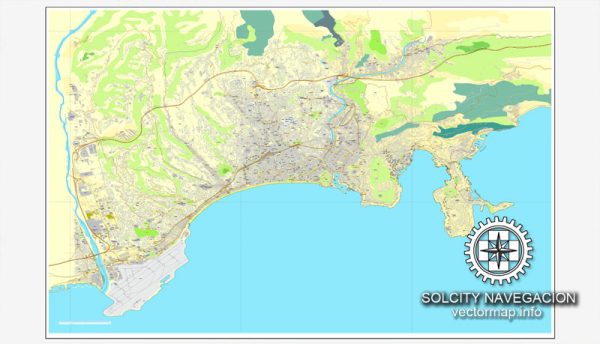
Nice, located on the French Riviera, is a beautiful coastal city with several notable waterways, bridges, and main streets. Here’s a description of some of the prominent features:
Waterways:
- Promenade des Anglais:
- Not exactly a waterway but a famous promenade along the Bay of Angels.
- Offers stunning views of the Mediterranean Sea.
- Paillon River:
- Flows through the city and has several bridges crossing over it.
Bridges:
- Pont Neuf:
- An iconic bridge over the Paillon River.
- Connects the Old Town to the modern part of the city.
- Pont Saint-Jean-Baptiste:
- Another notable bridge with historical significance.
Main Streets:
- Avenue Jean Médecin:
- The main shopping street in Nice.
- Lined with shops, cafes, and department stores.
- Promenade du Paillon:
- A beautiful park and pedestrian walkway, providing a green oasis in the heart of the city.
- Vieux Nice (Old Town):
- Narrow winding streets filled with colorful buildings, markets, and local shops.
- Rue de la Préfecture and Rue Rossetti are notable streets within the Old Town.
- Place Masséna:
- A central square that connects the Old Town with the modern city.
- Lined with red ochre buildings and features a stunning fountain.
- Quai des États-Unis:
- A waterfront promenade parallel to the Promenade des Anglais.
- Offers picturesque views of the Mediterranean.
- Avenue de Verdun:
- Runs parallel to the Promenade des Anglais and is known for its luxury hotels and boutiques.
- Rue de France:
- Parallel to the beach, it’s a street with a mix of residential and commercial spaces.
- Boulevard Victor Hugo:
- A broad avenue with elegant buildings and upscale shops.
- Avenue de la Californie:
- Runs along the coastline and offers breathtaking sea views.
These streets, bridges, and waterways collectively contribute to the charm and allure of Nice, making it a popular destination for both locals and tourists. The blend of historic architecture, vibrant markets, and scenic coastal areas adds to the city’s unique character.
Vectormap.Net provide you with the most accurate and up-to-date vector maps in Adobe Illustrator, PDF and other formats, designed for editing and printing. Please read the vector map descriptions carefully.


 Author: Kirill Shrayber, Ph.D. FRGS