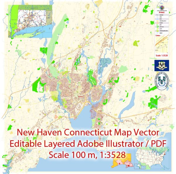
New Haven, Connecticut, is a city with a rich history and several prominent features in terms of waterways, bridges, and main streets. Vectormap.Net provide you with the most accurate and up-to-date vector maps in Adobe Illustrator, PDF and other formats, designed for editing and printing. Please read the vector map descriptions carefully.
Waterways:
- New Haven Harbor: The city is located on the northern shore of Long Island Sound, and New Haven Harbor is a significant waterway providing access to the sound. It has played a crucial role in the city’s history, serving as a port for trade and transportation.
Bridges:
- Tomlinson Bridge: Also known as the Pearl Harbor Memorial Bridge, it spans the Quinnipiac River and is a major highway bridge connecting New Haven to the town of East Haven. It’s a notable landmark and an important transportation link in the region.
- Mill River Bridge: This bridge crosses the Mill River, connecting the neighborhoods of Fair Haven and East Rock. It’s an essential route for local traffic.
- Grand Avenue Bridge: Spanning the Quinnipiac River, this bridge connects Fair Haven with the eastern part of the city. It is a vital transportation route.
Main Streets:
- Chapel Street: One of the primary streets in New Haven, Chapel Street runs through the heart of downtown. It is known for its shops, restaurants, and cultural institutions. The historic Chapel Street Historic District is also located here.
- Whalley Avenue: Running from downtown to the western parts of the city, Whalley Avenue is a major thoroughfare. It passes through diverse neighborhoods and commercial areas.
- State Street: Another important street in New Haven, State Street intersects with Chapel Street in downtown and extends to the eastern parts of the city.
- Elm Street: This street is known for its historic architecture and is part of the New Haven Green Historic District. It’s a central route in the downtown area.
- George Street: Situated near Yale University, George Street is known for its connection to the university and its academic and cultural institutions.
Remember that these descriptions provide a broad overview, and the city’s layout and features can be explored in more detail by consulting local maps or visiting the area. Additionally, urban development and infrastructure projects may lead to changes over time.


 Author: Kirill Shrayber, Ph.D. FRGS