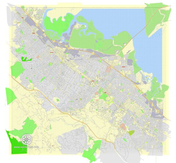
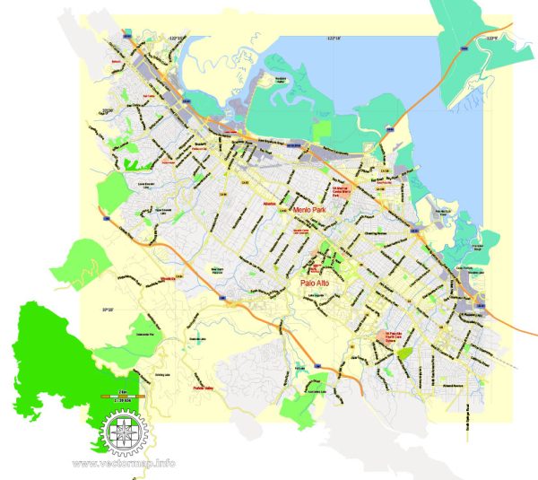
Some general information about Menlo Park, California, including its principal waterways, bridges, and main streets. Vectormap.Net provide you with the most accurate and up-to-date vector maps in Adobe Illustrator, PDF and other formats, designed for editing and printing. Please read the vector map descriptions carefully.
Waterways:
- San Francisco Bay: Menlo Park is located in the southern part of the San Francisco Peninsula, and its eastern border is along the shoreline of the San Francisco Bay.
Bridges:
- Dumbarton Bridge: While not directly in Menlo Park, the nearby Dumbarton Bridge connects Menlo Park to Fremont across the southern part of the San Francisco Bay.
Main Streets:
- El Camino Real: This major north-south thoroughfare runs through Menlo Park and is a significant commercial and transportation corridor in the region.
- Santa Cruz Avenue: It is a prominent street in downtown Menlo Park, featuring a mix of shops, restaurants, and other businesses.
- Alameda de las Pulgas: Another notable street that runs through Menlo Park, providing access to various residential neighborhoods.
It’s important to note that Menlo Park is a suburban city with a mix of residential and commercial areas, and its streets are laid out in a typical grid pattern. For the most accurate and current information, you may want to check with local government sources, maps, or navigation services.


 Author: Kirill Shrayber, Ph.D. FRGS