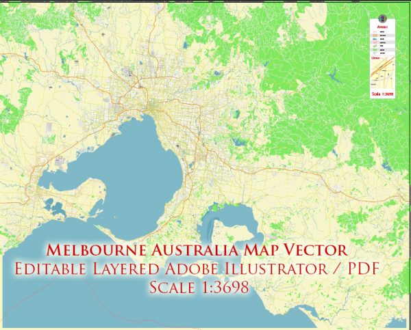
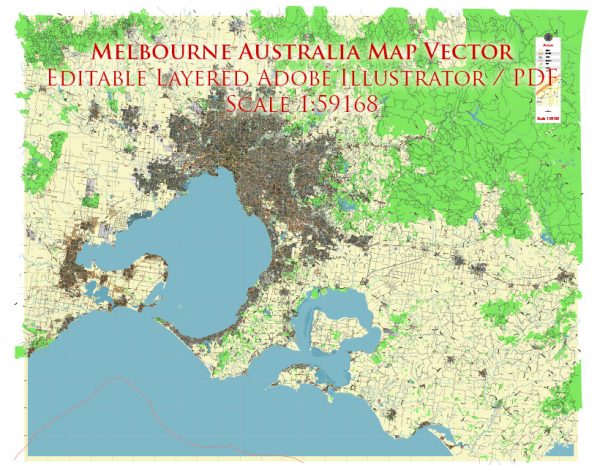
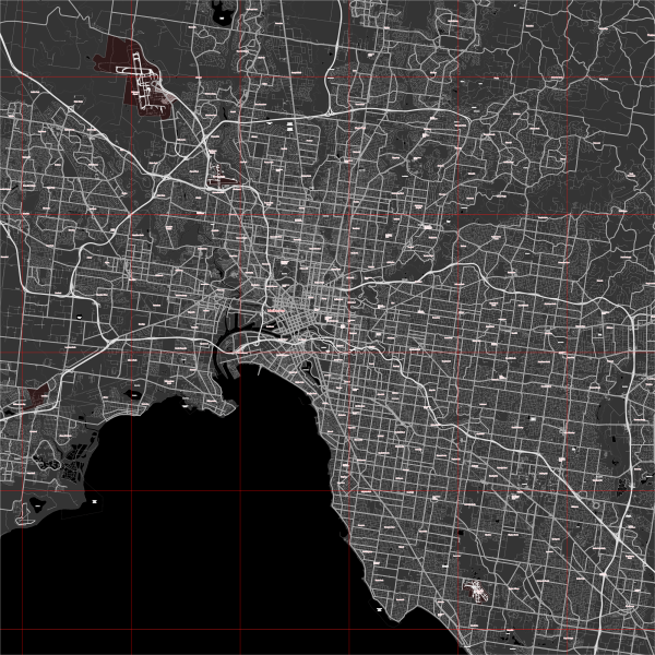
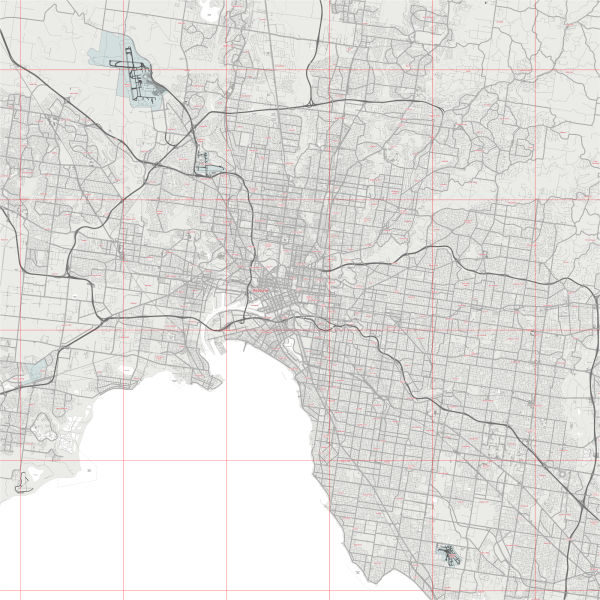
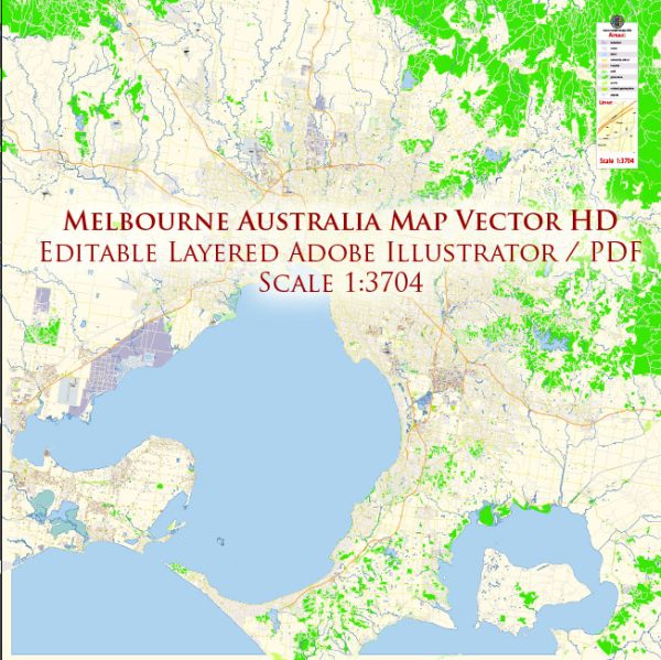
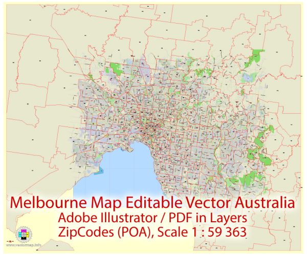
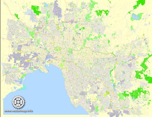
A general description of some of Melbourne’s principal waterways, bridges, and main streets. Vectormap.Net provide you with the most accurate and up-to-date vector maps in Adobe Illustrator, PDF and other formats, designed for editing and printing. Please read the vector map descriptions carefully.
- Yarra River:
- The Yarra River is a prominent waterway flowing through the heart of Melbourne. It is a central feature of the city and offers picturesque views.
- The Southbank Promenade, located along the southern bank of the Yarra River, is a popular area with restaurants, shops, and entertainment venues.
- Bridges:
- Princes Bridge: A historic bridge spanning the Yarra River, connecting the central business district (CBD) with the St Kilda Road precinct.
- Bolte Bridge: An iconic bridge that spans the Yarra River in the Docklands area, providing a major transport link between the western and eastern suburbs.
- Main Streets:
- Swanston Street: One of Melbourne’s main thoroughfares, running through the CBD. It is known for its shopping, cafes, and cultural institutions.
- Bourke Street: A bustling street in the CBD known for its retail shops, restaurants, and as a hub of activity.
- Collins Street: Often referred to as the “Paris end” due to its high-end fashion boutiques, Collins Street is a major east-west street in the CBD.
- Chapel Street: Located in the inner suburbs of Melbourne, Chapel Street is famous for its trendy fashion stores, cafes, and vibrant nightlife.
- Flinders Street Station:
- One of Melbourne’s most iconic landmarks, Flinders Street Station is located at the intersection of Flinders and Swanston Streets. It is a major transportation hub and a meeting point for locals.
- Docklands:
- An area west of the CBD that has undergone significant urban renewal. It features modern architecture, waterfront promenades, and the Etihad Stadium (now known as Marvel Stadium).
Remember, Melbourne is a dynamic city with ongoing developments, so it’s advisable to check for the latest information to ensure accuracy and to discover any new landmarks or changes to the cityscape.

 Author: Kirill Shrayber, Ph.D. FRGS