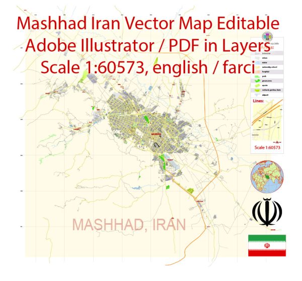
Mashhad is the second-largest city in Iran and the capital of the Razavi Khorasan Province. While it is not known for extensive waterways like some other cities, it has notable bridges and main streets. Vectormap.Net provide you with the most accurate and up-to-date vector maps in Adobe Illustrator, PDF and other formats, designed for editing and printing. Please read the vector map descriptions carefully.
- Waterways:
- Mashhad is not defined by major waterways. The city is located in a relatively arid region, and its water sources primarily come from underground aquifers and local water supply systems.
- Bridges:
- One of the prominent bridges in Mashhad is the Imam Reza Bridge. This bridge spans the river running through the city and connects different parts of Mashhad. It is not only a functional bridge but also a symbolic structure in the city.
- Main Streets:
- Imam Reza Street (formerly known as Pahlavi Street): This is one of the main thoroughfares in Mashhad, hosting a variety of shops, restaurants, and businesses. It is a bustling commercial street and a popular destination for locals and visitors alike.
- Shariati Street: Another important street in Mashhad, Shariati Street is known for its commercial activities and is lined with shops, markets, and entertainment venues.
- Azadi Street: This street is significant in terms of urban development and commerce. It intersects with other major streets, contributing to the overall connectivity of the city.
- Khayyam Street: Known for its historical significance, Khayyam Street is named after the famous Persian poet and mathematician Omar Khayyam. It is a street with a cultural and historical ambiance.
- Vakilabad Boulevard: This is a wide boulevard that serves both as a major thoroughfare and a recreational area. It is often used for events, and its green spaces make it a pleasant place for locals to relax.


 Author: Kirill Shrayber, Ph.D. FRGS