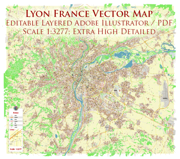
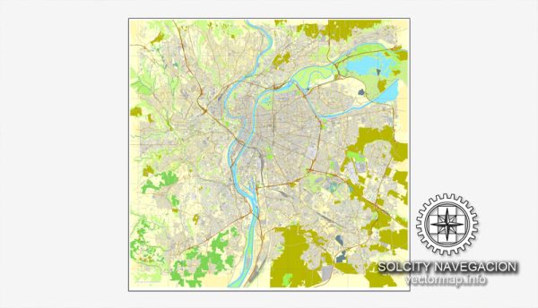
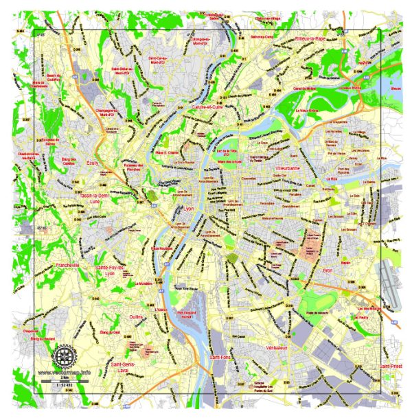
Lyon, located in east-central France, is known for its rich history, architectural heritage, and vibrant cultural scene. The city is situated at the confluence of the Rhône and Saône rivers, which play a significant role in shaping its urban landscape. Here’s a brief description of Lyon’s principal waterways, bridges, and main streets:
Waterways:
- Rhône River:
- Lyon is bisected by the Rhône River, which flows from the Swiss Alps to the Mediterranean Sea. The river serves as a major transportation route and offers scenic views along its banks.
- Saône River:
- The Saône River joins the Rhône in the heart of Lyon. It provides another picturesque watercourse through the city, with charming quays and promenades along its shores.
Bridges:
- Pont Lafayette:
- This iconic bridge spans the Rhône River and connects the Presqu’île district to the eastern part of Lyon. It offers stunning views of the city and is a popular spot for both locals and tourists.
- Pont Wilson:
- Crossing the Saône River, Pont Wilson is an elegant bridge known for its arches and decorative elements. It links the Presqu’île to the Vieux Lyon (Old Lyon) district.
- Pont de l’Université:
- This bridge connects the two riverbanks of the Rhône and is often used by pedestrians and cyclists. It provides a peaceful place to enjoy the river views.
Main Streets:
- Presqu’île:
- The Presqu’île is the heart of Lyon, situated between the Rhône and Saône rivers. It houses the city’s commercial and cultural center, featuring a mix of shops, restaurants, and historical landmarks.
- Rue de la République:
- Running through the Presqu’île, this grand boulevard is one of Lyon’s main shopping streets. It is lined with shops, cafes, and impressive architecture, making it a popular destination for both shopping and leisurely strolls.
- Quai Saint-Antoine:
- Along the Saône River, Quai Saint-Antoine offers a picturesque promenade with views of the Fourvière Hill and Vieux Lyon. It’s a charming area to explore, dotted with riverside cafes and historical buildings.
- Rue du Boeuf (Vieux Lyon):
- In the Vieux Lyon district, Rue du Boeuf is a narrow, cobblestone street lined with medieval buildings. It captures the historic charm of the city and is a favorite among visitors exploring Lyon’s Old Town.
Lyon’s waterways, bridges, and streets collectively contribute to the city’s unique character, blending history with modernity in a delightful way.


 Author: Kirill Shrayber, Ph.D. FRGS