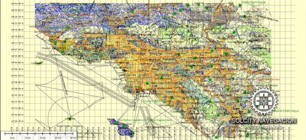
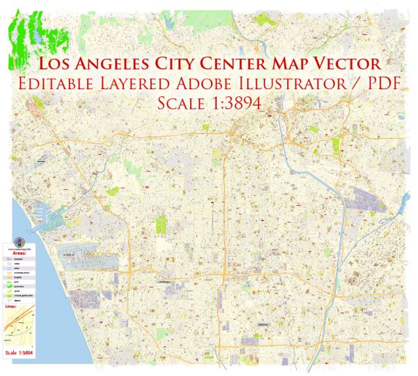
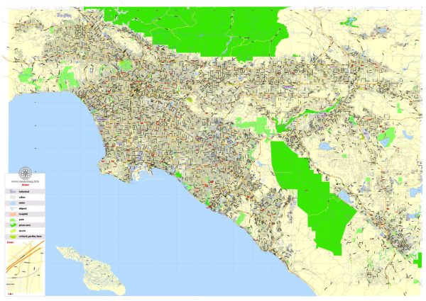
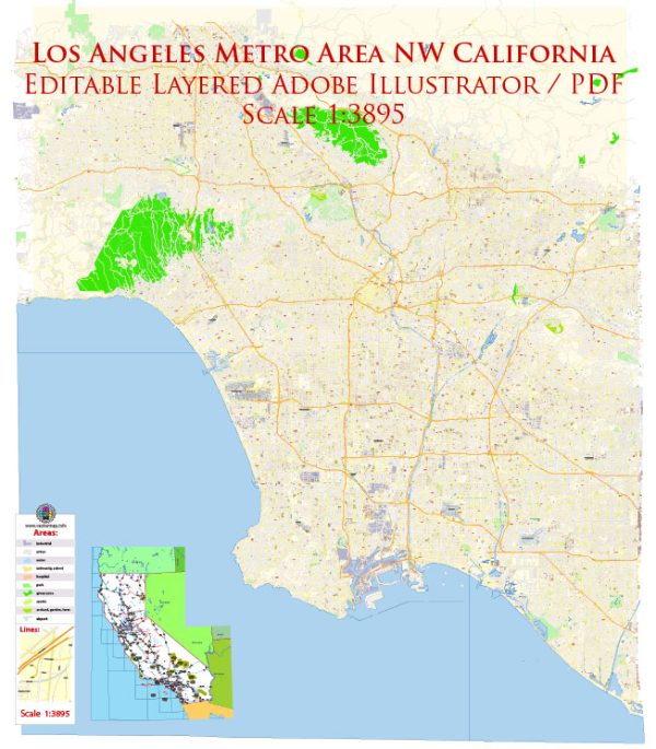
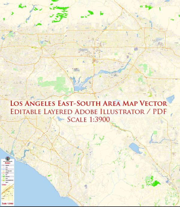
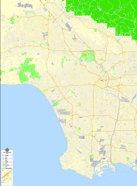
Los Angeles, California, is a sprawling metropolis with a complex network of waterways, bridges, and main streets. Here’s a brief description of some of the principal waterways, bridges, and main streets in and around Los Angeles:
Waterways:
- Los Angeles River:
- The Los Angeles River flows through the city and has played a significant role in its history. Parts of the river have been channelized, but efforts are ongoing to revitalize and restore its natural features.
- Pacific Ocean:
- To the west of Los Angeles lies the Pacific Ocean, providing a vast coastline that includes popular beaches such as Santa Monica and Venice Beach.
Bridges:
- Vincent Thomas Bridge:
- Connecting San Pedro and Terminal Island, the Vincent Thomas Bridge is an iconic suspension bridge that offers stunning views of the Port of Los Angeles.
- Sixth Street Viaduct:
- Spanning the Los Angeles River, the Sixth Street Viaduct is an important historic bridge that has been featured in numerous films and commercials. It is currently undergoing a replacement project.
Main Streets:
- Sunset Boulevard:
- A world-famous street that stretches from downtown Los Angeles to the Pacific Coast Highway, Sunset Boulevard is known for its cultural significance, entertainment industry landmarks, and vibrant nightlife.
- Wilshire Boulevard:
- One of the principal east-west arterial roads in Los Angeles, Wilshire Boulevard is lined with businesses, museums, and luxury residences. The stretch known as the Miracle Mile is particularly notable.
- Santa Monica Boulevard:
- Running from Silver Lake to the Pacific Ocean, Santa Monica Boulevard is a major east-west thoroughfare passing through West Hollywood and connecting several neighborhoods.
- Rodeo Drive:
- Located in Beverly Hills, Rodeo Drive is synonymous with luxury shopping, featuring high-end boutiques and designer stores.
- Broadway:
- In downtown Los Angeles, Broadway is known for its historic theaters and is a significant cultural and entertainment hub.
- Melrose Avenue:
- Famous for its trendy boutiques, vintage shops, and eclectic atmosphere, Melrose Avenue is a popular destination for shopping and dining.
These are just a few examples, and Los Angeles has an extensive network of streets, highways, and bridges that make up its intricate transportation system. The city’s landscape is ever-evolving, with ongoing infrastructure projects and urban development shaping the character of its waterways and roadways.
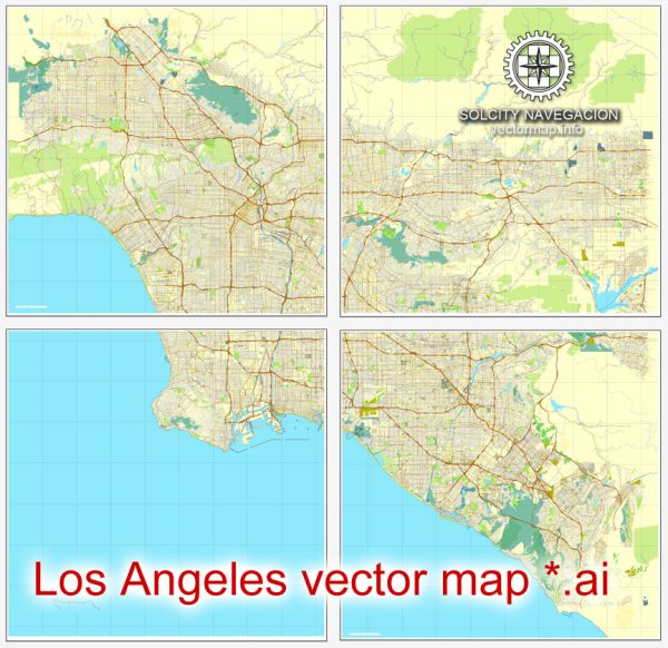
Vectormap.Net provide you with the most accurate and up-to-date vector maps in Adobe Illustrator, PDF and other formats, designed for editing and printing. Please read the vector map descriptions carefully.

 Author: Kirill Shrayber, Ph.D.