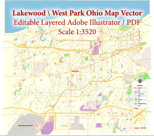
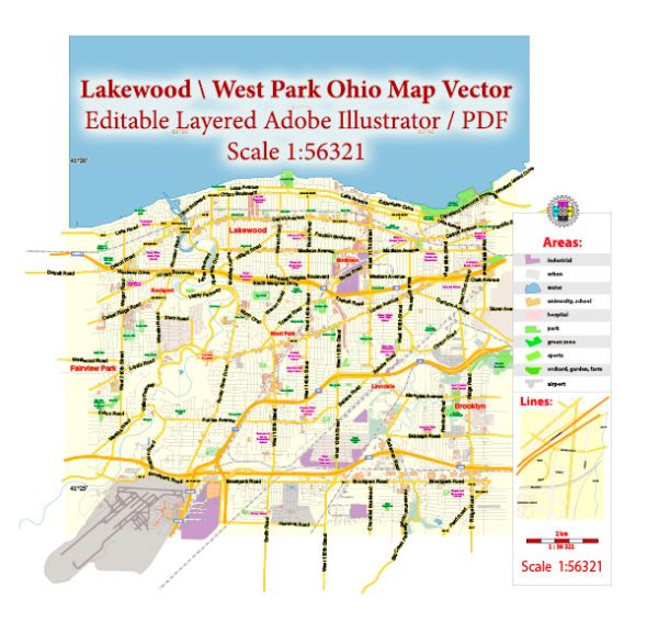
Lakewood, Ohio, is a suburb located just west of Cleveland. It is a vibrant community with a mix of residential, commercial, and recreational areas. Some general information about the main streets and roads in Lakewood, we provide you with the most accurate and up-to-date vector maps in Adobe Illustrator, PDF and other formats, designed for editing and printing. Please read the vector map descriptions carefully. Here are some principal streets and roads in Lakewood:
- Detroit Avenue: This is one of the main thoroughfares in Lakewood and features a mix of businesses, shops, restaurants, and residential areas. It runs east-west and is a central route through the city.
- Clifton Boulevard: Another significant road, Clifton Boulevard runs along the northern border of Lakewood and serves as a major route for commuters. It offers access to Cleveland and connects to Lakewood’s neighborhoods.
- Madison Avenue: Running parallel to Detroit Avenue, Madison Avenue is home to various shops, cafes, and local businesses. It provides an alternative route for navigating through Lakewood.
- Warren Road: This road runs from the southern part of Lakewood to the northern neighborhoods, intersecting with Detroit Avenue. It provides access to residential areas and some local parks.
- Lake Avenue: As the name suggests, Lake Avenue is located along the northern border of Lakewood and provides access to parks and recreational areas along Lake Erie.
- West Clifton Boulevard: This road is an extension of Clifton Boulevard and continues into Lakewood, offering access to the western neighborhoods of the city.
- Cove Avenue: Located in the western part of Lakewood, Cove Avenue is known for its residential character and provides access to parks and schools in the area.
- Franklin Boulevard: Running parallel to Clifton Boulevard, Franklin Boulevard is another route that connects the eastern and western parts of Lakewood.
Keep in mind that Lakewood has a well-defined grid system for its streets, and the city is relatively easy to navigate. Additionally, developments and changes in infrastructure may have occurred since my last update, so it’s recommended to check with local sources for the most current information on Lakewood’s streets and roads.


 Author: Kirill Shrayber, Ph.D. FRGS