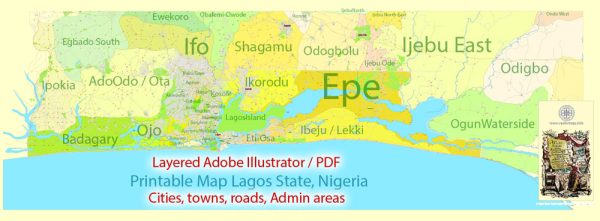
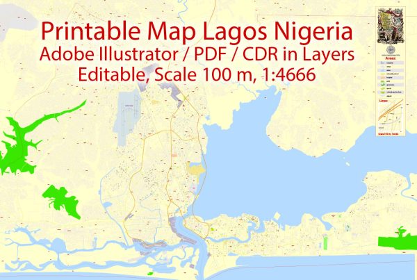
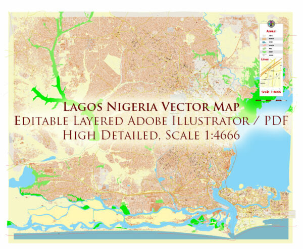
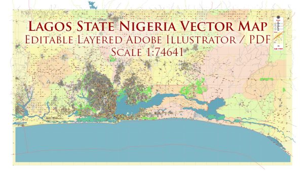
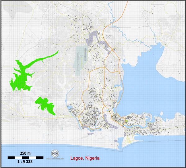
Some of the principal waterways, bridges, and main roads in Lagos, Nigeria. We provide you with the most accurate and up-to-date vector maps in Adobe Illustrator, PDF and other formats, designed for editing and printing. Please read the vector map descriptions carefully.
Principal Waterways:
- Lagos Lagoon: The Lagos Lagoon is a large body of water that separates the city from the mainland. It plays a crucial role in the geography of Lagos and is connected to several smaller lagoons.
- Five Cowrie Creek: This is a tidal waterway that flows into the Lagos Lagoon. It has historical significance and is known for the Five Cowries Bridge that crosses it.
Bridges:
- Third Mainland Bridge: One of the most iconic bridges in Lagos, the Third Mainland Bridge is the longest of three bridges connecting Lagos Island to the mainland. It spans the Lagos Lagoon and is a vital transportation link in the city.
- Eko Bridge: Connecting the Lagos Island to the mainland, Eko Bridge is another important bridge in the city. It provides a route for both vehicular and pedestrian traffic.
- Carter Bridge: Located on Lagos Island, the Carter Bridge connects the mainland to the island, passing over the Lagos Lagoon. It is an historic bridge with architectural significance.
Main Roads:
- Apapa-Oshodi Expressway: This is a major road that connects the Apapa port area to Oshodi and other parts of the mainland. It is a critical route for the transportation of goods to and from the port.
- Ikorodu Road: Running from Lagos Island to Ikorodu, this road is one of the busiest in the city. It passes through densely populated areas and serves as a major commuter route.
- Lekki-Epe Expressway: This road connects Lekki, a rapidly developing area in Lagos, to Epe, providing access to several residential and commercial developments.
- Funsho Williams Avenue: Formerly known as Western Avenue, this road runs through the mainland of Lagos and is an important transportation artery.

 Author: Kirill Shrayber, Ph.D. FRGS