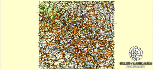
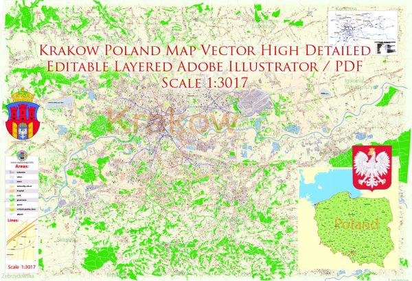
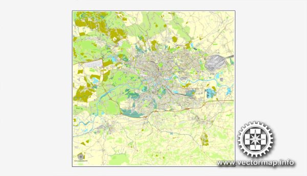
Krakow, Poland, is a historic and picturesque city with several prominent waterways, bridges, and main roads. Here’s a brief description of some of the principal waterways, bridges, and main roads in Krakow:
Waterways:
- Vistula River (Wisła): The Vistula River is the longest and most significant river in Poland, flowing through Krakow. It divides the city into two parts: the Old Town on the north and the Kazimierz district on the south. The riverbanks provide scenic views and are popular for leisurely walks.
Bridges:
- Bernatek Footbridge: This modern suspension footbridge spans the Vistula River, connecting the districts of Kazimierz and Podgórze. It’s known for its artistic installations, including sculptures of acrobats.
- Father Bernatek’s Bridge: Also known as the Love Bridge, this pedestrian bridge adorned with padlocks symbolizes love and commitment. It offers a charming view of the city and the Wawel Castle.
Main Roads:
- Royal Route (Droga Królewska): The Royal Route is a historic path that passes through the heart of Krakow, connecting the Floriańska Gate in the north to the Wawel Castle in the south. It is lined with historic buildings, churches, and landmarks.
- Floriańska Street: This vibrant street is part of the Royal Route and is one of the main thoroughfares in the Old Town. It leads from the Floriańska Gate to the Main Market Square, featuring shops, cafes, and historic architecture.
- Grodzka Street: Grodzka is another important street in the Old Town, connecting the Wawel Castle with the Main Market Square. It is lined with historical buildings, churches, and charming shops.
- Krakowska Avenue (Aleja Krakowska): This major avenue is part of the city’s transport network, connecting various districts. It plays a crucial role in transportation and is lined with commercial and residential buildings.
- Błonia Park: While not a road, Błonia is a vast green space in Krakow, often used for public events and gatherings. It provides a scenic route for walking and jogging and is surrounded by major roads, including the Krakowska Avenue.
These are just a few highlights of Krakow’s waterways, bridges, and main roads. The city’s rich history and architectural beauty make exploring these areas a delightful experience for residents and visitors alike.
We provide you with the most accurate and up-to-date vector maps in Adobe Illustrator, PDF and other formats, designed for editing and printing. Please read the vector map descriptions carefully.


 Author: Kirill Shrayber, Ph.D. FRGS