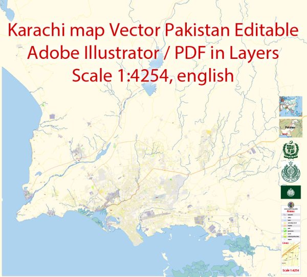
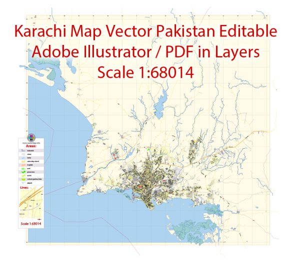
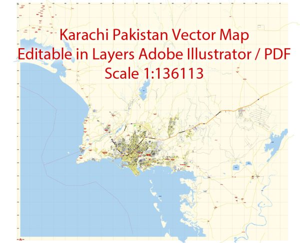
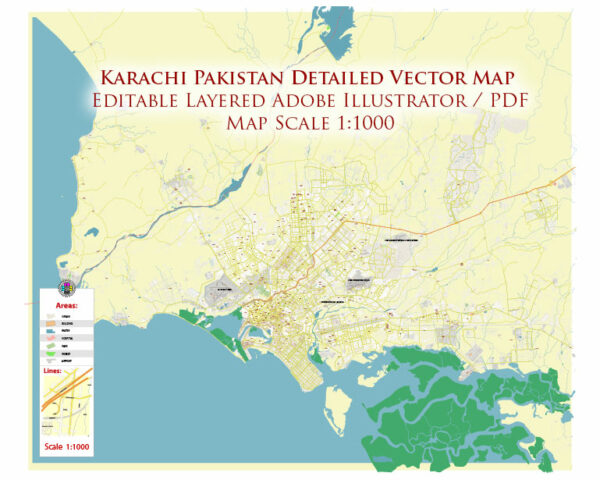
Karachi, the largest city in Pakistan, is known for its extensive road network that connects various parts of the city. Some principal streets and roads in Karachi. We provide you with the most accurate and up-to-date vector maps in Adobe Illustrator, PDF and other formats, designed for editing and printing. Please read the vector map descriptions carefully. Here are some notable streets and roads in Karachi:
- Shahrah-e-Faisal:
- A major artery running through the heart of Karachi.
- Connects the city’s business district to the airport and other key areas.
- Lined with commercial buildings, hotels, and corporate offices.
- Clifton Beach Road:
- Connects the city center to Clifton, an upscale residential and commercial area.
- Offers access to the Clifton Beach and Sea View.
- I.I. Chundrigar Road (formerly McLeod Road):
- Known as the Wall Street of Pakistan.
- Houses the financial and business district of Karachi, including the Karachi Stock Exchange.
- University Road:
- Connects Gulshan-e-Iqbal to the University of Karachi and other educational institutions.
- Lined with schools, colleges, and universities.
- Karsaz Road:
- Links Shahrah-e-Faisal to the National Stadium and Dalmia.
- Hosts major events at the National Stadium.
- Khalid Bin Waleed Road:
- Connects Clifton to Saddar and other central areas.
- Features shopping districts, markets, and cultural landmarks.
- M.A. Jinnah Road:
- One of the oldest and busiest roads in Karachi.
- Home to historical sites, markets, and religious buildings.
- Karachi Northern Bypass:
- Provides a bypass around the northern outskirts of Karachi, connecting the M-9 Motorway to the Superhighway.
- Superhighway (M-9 Motorway):
- Connects Karachi to Hyderabad and other cities in Sindh.
- An important route for transportation and trade.
- Gulshan-e-Iqbal Road:
- Runs through the Gulshan-e-Iqbal neighborhood, known for parks, residential areas, and educational institutions.
- Korangi Road:
- Connects various industrial areas in Karachi, including Korangi Industrial Area.
Please note that traffic conditions in Karachi can vary, and it’s advisable to check real-time traffic updates when planning travel. Additionally, new infrastructure projects may have been initiated, and road names or configurations may have changed.


 Author: Kirill Shrayber, Ph.D. FRGS