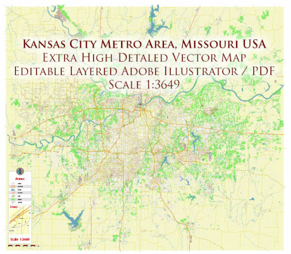
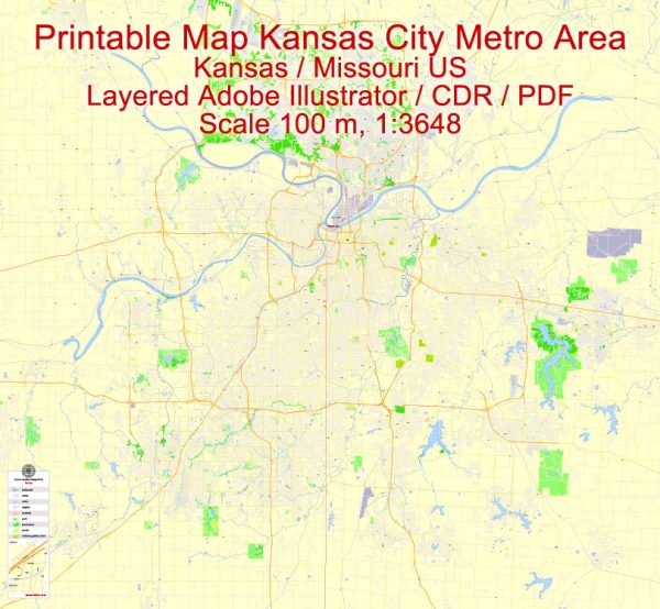
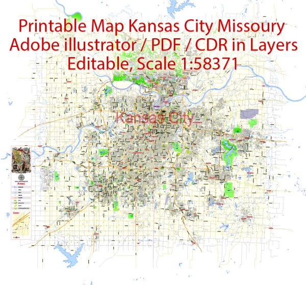
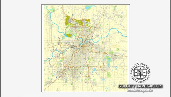
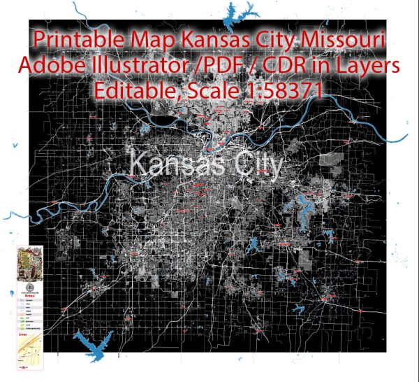
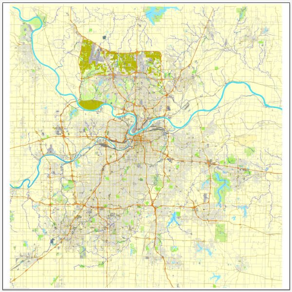
Kansas City is a metropolitan area that straddles the border of the U.S. states of Missouri and Kansas. The city is known for its distinct neighborhoods and a network of roads and streets that connect various parts of the metropolitan area. We provide you with the most accurate and up-to-date vector maps in Adobe Illustrator, PDF and other formats, designed for editing and printing. Please read the vector map descriptions carefully. Here is a general description of some principal streets and roads in Kansas City, Missouri, and Kansas:
Kansas City, Missouri:
- Main Street: Main Street is a major north-south thoroughfare running through downtown Kansas City, Missouri. It is known for its historic buildings, shops, and restaurants.
- Grand Boulevard: This boulevard runs parallel to Main Street and is also a significant north-south route through the city. It passes through various neighborhoods and commercial areas.
- Troost Avenue: Troost Avenue is another important north-south street that has historically served as a dividing line between different socioeconomic areas of the city.
- Interstate 35 (I-35): I-35 runs north-south and connects Kansas City to other major cities. It is a crucial interstate for regional transportation.
- Interstate 70 (I-70): I-70 is an east-west interstate that passes through the northern part of downtown Kansas City.
Kansas City, Kansas:
- State Avenue: State Avenue is a major east-west thoroughfare that runs through Kansas City, Kansas. It is lined with various businesses and connects different neighborhoods.
- Parallel Parkway: Parallel Parkway runs parallel to State Avenue and is another important east-west route in Kansas City, Kansas.
- Interstate 635 (I-635): I-635 is a significant interstate that connects various parts of the Kansas City metropolitan area. It runs north-south and crosses the Kansas River.
- Interstate 70 (I-70): I-70 also passes through Kansas City, Kansas, providing an east-west route connecting the city to other parts of the region.
These are just a few examples, and the Kansas City metropolitan area has an extensive network of roads and highways connecting its various neighborhoods and suburbs. Additionally, there are numerous local streets and avenues that contribute to the overall transportation infrastructure of the region. Keep in mind that urban development and road networks may have changed since my last update, so it’s advisable to consult current maps or navigation systems for the latest information.

 Author: Kirill Shrayber, Ph.D. FRGS