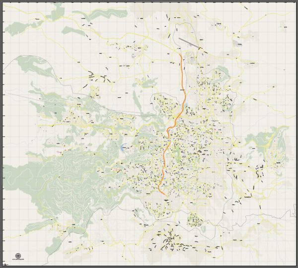
Jerusalem, the capital city of Israel, is known for its historical significance and diverse cultural heritage. The city is characterized by a mix of ancient and modern architecture, and its streets and roads reflect this rich history. Here are some principal streets and roads in Jerusalem:
- Jaffa Road (Rehov Yaffo):
- One of the main thoroughfares in Jerusalem.
- Historically significant and once the main street for commerce and transportation.
- Home to shops, markets, and cultural sites.
- Ben Yehuda Street (Rehov Ben Yehuda):
- A popular pedestrian mall in the city center.
- Lined with shops, cafes, and street performers.
- A vibrant and lively area, especially in the evenings.
- King George Street (Rehov HaMelech George):
- Another central street in Jerusalem.
- Features a mix of shops, restaurants, and cultural institutions.
- Connects several important city landmarks.
- Derech Hebron (Hebron Road):
- Runs from the south to the southwest of the city.
- Passes through diverse neighborhoods and offers scenic views.
- Derech Bethlehem (Bethlehem Road):
- Connects the city center to the southern neighborhoods.
- Named after the nearby city of Bethlehem.
- Sderot Bar Ilan:
- A major road connecting different parts of the city.
- Passes by important institutions, including the Hebrew University of Jerusalem.
- Sderot Menachem Begin:
- Named after the former Prime Minister Menachem Begin.
- A key road in the city, intersecting with other major routes.
- Sderot Herzl:
- Named after Theodor Herzl, the founder of modern political Zionism.
- Important for transportation and access to various neighborhoods.
- Jabotinsky Street (Rehov Jabotinsky):
- Runs through different parts of the city.
- Features a mix of residential and commercial areas.
- Derech Ruppin:
- Connects the neighborhoods in the northern part of the city.
- Provides access to the Hebrew University and Mount Scopus.
These streets and roads are just a glimpse of the extensive network that makes up Jerusalem’s urban landscape. The city’s streets not only facilitate transportation but also showcase its cultural diversity and historical layers.
We provide you with the most accurate and up-to-date vector maps in Adobe Illustrator, PDF and other formats, designed for editing and printing. Please read the vector map descriptions carefully.


 Author: Kirill Shrayber, Ph.D.