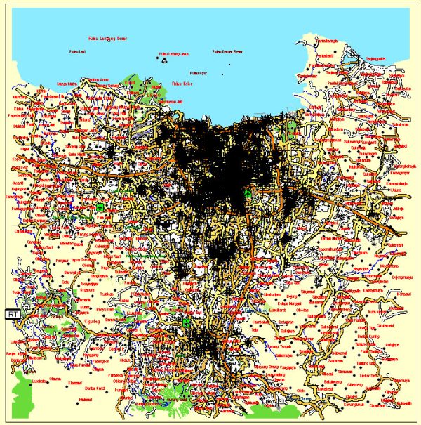
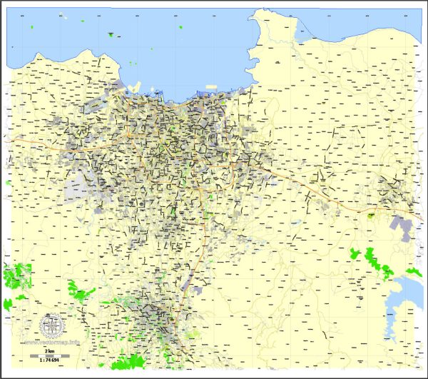
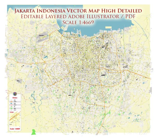
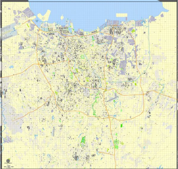
A general overview of some of the principal streets and roads in Jakarta, Indonesia. We provide you with the most accurate and up-to-date vector maps in Adobe Illustrator, PDF and other formats, designed for editing and printing. Please read the vector map descriptions carefully. Here are some key streets and roads in Jakarta:
- Jalan Sudirman: One of Jakarta’s main thoroughfares, Jalan Sudirman, is a major business and commercial street. It is home to numerous office buildings, shopping centers, and hotels.
- Jalan Thamrin: Parallel to Jalan Sudirman, Jalan Thamrin is another important street in central Jakarta, known for its shopping centers, restaurants, and hotels.
- Jalan Gatot Subroto: This road is a significant avenue that connects South Jakarta with the central business district. It is named after Gatot Soebroto, an Indonesian military commander.
- Jalan MH Thamrin: Located in central Jakarta, this street is often considered the heart of the city. It is lined with high-end hotels, shopping malls, and office buildings.
- Jalan Fatmawati: Running through South Jakarta, Jalan Fatmawati is known for its commercial and residential areas. It intersects with various other roads, connecting different parts of the city.
- Jalan Pangeran Antasari: This road is an important route in South Jakarta, connecting areas like Blok M to Kemang.
- Jalan HR Rasuna Said: Situated in the Kuningan business district, this street is known for its office buildings, embassies, and upscale residential complexes.
- Jalan Kuningan: Another significant street in the Kuningan area, Jalan Kuningan is lined with office buildings, apartments, and restaurants.
- Jalan Rasuna Said: This road runs through the Golden Triangle area and is known for its business centers, shopping malls, and entertainment venues.
- Jalan Wolter Monginsidi: Located in the Kebayoran Baru area, this street is known for its shops, restaurants, and cafes.
Please note that traffic conditions in Jakarta can be challenging, particularly during peak hours. The city has a comprehensive network of roads and highways, but congestion is a common issue. Additionally, urban development projects may lead to changes in the city’s road infrastructure. It’s advisable to check for the latest updates or use navigation apps for real-time information.


 Author: Kirill Shrayber, Ph.D. FRGS