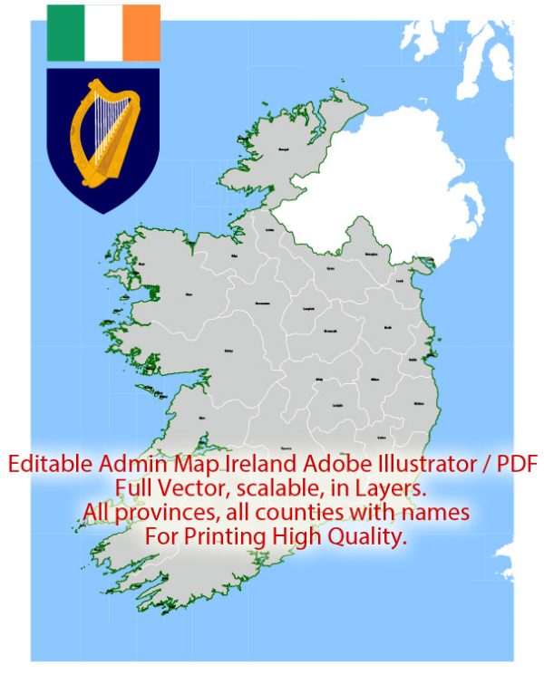
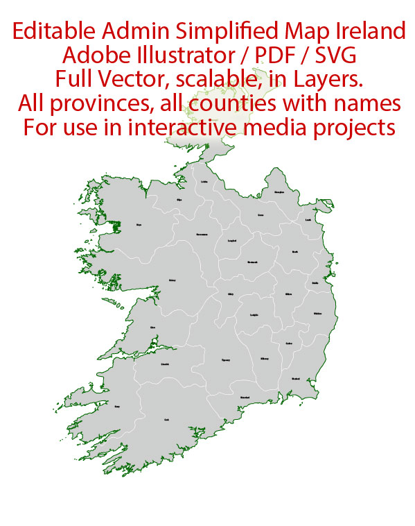
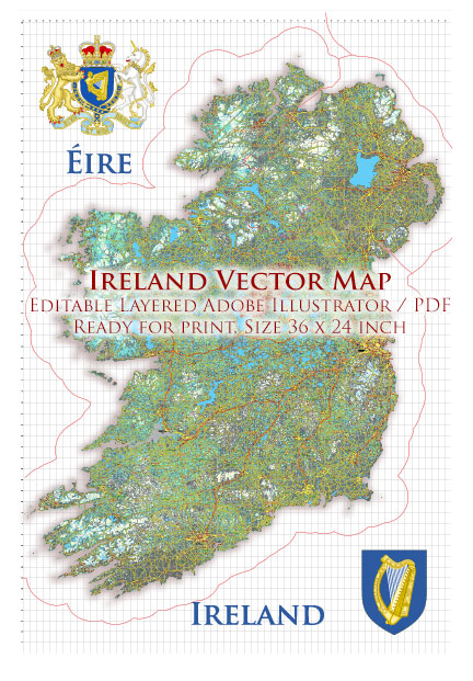
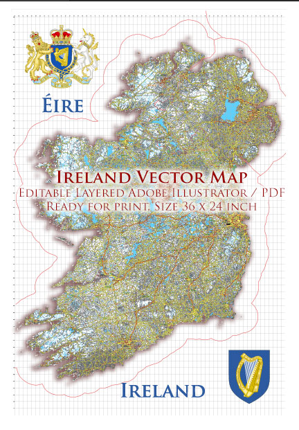
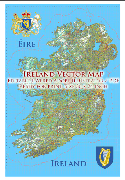
Ireland is divided into four provinces: Leinster, Munster, Connacht, and Ulster. Each province is further subdivided into counties, and within these counties, you’ll find the main cities and towns connected by a network of roads. Here is a brief description of some of the main cities and roads in Ireland:
Dublin:
- The capital and largest city of Ireland, located in the province of Leinster.
- Major roads: M50 motorway (ring road around Dublin), M1 (connects Dublin to Belfast), M4 (connects Dublin to the west), M7 (connects Dublin to the southwest).
Belfast:
- The capital and largest city of Northern Ireland, located in the province of Ulster.
- Major roads: M1 motorway (connects Belfast to Dublin), M2 (connects Belfast to Derry), A12 (connects Belfast to Newtownards).
Cork:
- Located in the province of Munster, Cork is the second-largest city in Ireland.
- Major roads: N40 (ring road around Cork), N22 (connects Cork to Killarney and Tralee), N25 (connects Cork to Waterford and Rosslare).
Limerick:
- Located in the province of Munster, Limerick is a major city in the west of Ireland.
- Major roads: M7 (connects Limerick to Dublin), N18 (connects Limerick to Galway), N69 (connects Limerick to Tralee).
Galway:
- Located in the province of Connacht, Galway is a cultural hub on the west coast.
- Major roads: M6 (connects Galway to Dublin), N17 (connects Galway to Sligo), N18 (connects Galway to Limerick).
Waterford:
- Located in the province of Munster, Waterford is the oldest city in Ireland.
- Major roads: N25 (connects Waterford to Cork and Rosslare), N9 (connects Waterford to Kilkenny and Dublin).
Londonderry/Derry:
- Located in Northern Ireland, Derry is the second-largest city in Northern Ireland.
- Major roads: A6 (connects Derry to Belfast), A2 (runs along the northern coast), A5 (connects Derry to Omagh).
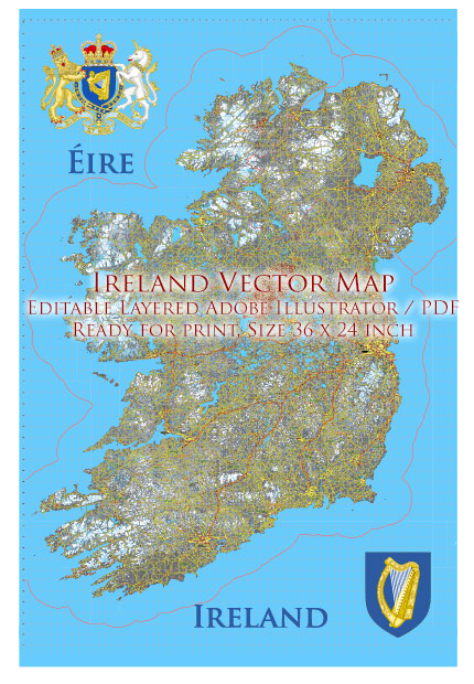
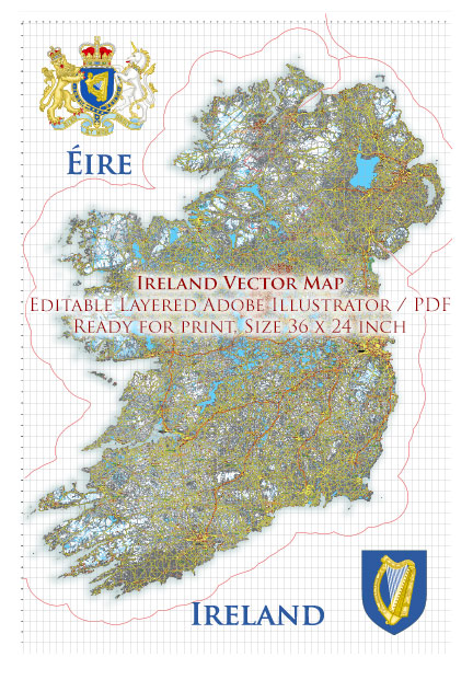
These cities are connected by a network of national primary routes (N-roads) and motorways (M-roads), facilitating transportation and travel throughout the country. The road infrastructure is continually evolving, with ongoing projects to improve and expand the network.

 Author: Kirill Shrayber, Ph.D. FRGS