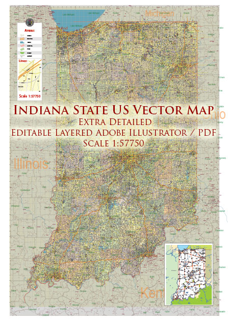
Indiana is a state located in the Midwestern and Great Lakes regions of the United States. It is known for its diverse geography, which includes farmland, forests, and the Great Lakes region. Here are some of the main cities and roads in Indiana:
Main Cities:
- Indianapolis: The state capital and largest city, known for the Indianapolis Motor Speedway, the site of the famous Indianapolis 500 race. Indianapolis is a major cultural and economic hub.
- Fort Wayne: Located in the northeastern part of the state, Fort Wayne is the second-largest city. It has a rich history and is known for its parks and cultural attractions.
- Evansville: Situated in the southwestern part of the state along the Ohio River, Evansville is an important regional center for commerce and industry.
- South Bend: Home to the University of Notre Dame, South Bend is located in the northern part of the state. It has a strong connection to education and sports.
- Lafayette: Located in the west-central part of Indiana, Lafayette is known for its educational institutions, including Purdue University.
- Bloomington: Home to Indiana University, Bloomington is a vibrant city in the southern part of the state. It is known for its cultural events, music scene, and college town atmosphere.
Main Roads:
- Interstate 65 (I-65): A major north-south interstate highway that connects Louisville, Kentucky, to Gary, Indiana, passing through Indianapolis.
- Interstate 70 (I-70): An east-west interstate highway that passes through Indianapolis and connects the state to major cities such as St. Louis and Columbus, Ohio.
- Interstate 74 (I-74): An interstate highway that runs from the Illinois border in the west to the Ohio border in the east, passing through Indianapolis.
- Interstate 69 (I-69): A major north-south interstate that connects Indianapolis to Fort Wayne and beyond, ultimately extending to the Canadian border.
- U.S. Route 30: A major east-west highway that traverses the northern part of the state, connecting cities like Fort Wayne and Valparaiso.
- U.S. Route 41: A north-south highway running through the western part of the state, passing through cities like Evansville and Terre Haute.
- State Road 37: A significant north-south state highway that connects Indianapolis to Bloomington and runs through the central part of the state.
These are just a few examples, and there are many more state and local roads that contribute to Indiana’s extensive transportation network. The state’s road system plays a crucial role in facilitating both local and interstate travel.


 Author: Kirill Shrayber, Ph.D. FRGS