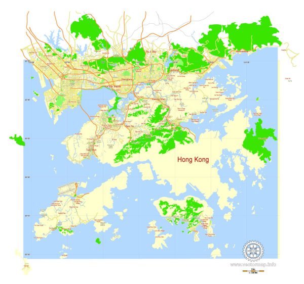
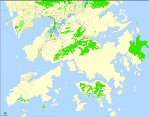
Hong Kong is a vibrant and densely populated city with a well-developed network of streets and roads. The city is divided into three main regions: Hong Kong Island, Kowloon, and the New Territories. Here are some of the principal streets and roads in each of these areas:
Hong Kong Island:
- Queen’s Road: This is a major road that runs through the central business district on Hong Kong Island. It is divided into Queen’s Road Central and Queen’s Road East.
- Des Voeux Road: Another important road in the central area, known for its bustling street life and historic buildings.
- Hennessy Road: It runs through the Wan Chai district and is a major commercial and shopping street.
- Gloucester Road: Located in the Wan Chai and Causeway Bay areas, it is known for its shopping malls and hotels.
- Harbour Road: This road runs along the Victoria Harbour waterfront and offers stunning views of the harbor and the skyline.
Kowloon:
- Nathan Road: Often referred to as the “Golden Mile,” Nathan Road is the main thoroughfare in Kowloon, lined with shops, restaurants, and hotels.
- Tsim Sha Tsui East Promenade: This waterfront promenade offers breathtaking views of the Hong Kong Island skyline.
- Austin Road: Connecting Tsim Sha Tsui and West Kowloon, this road is known for its shopping centers and cultural venues.
- Mong Kok’s Argyle Street and Sai Yeung Choi Street: These streets are famous for their vibrant street markets, shopping, and entertainment options.
New Territories:
- Castle Peak Road: Running through the New Territories, this road connects Yuen Long to Tsuen Wan and is a major route for transportation.
- Tuen Mun Road: Connecting Tuen Mun to Kowloon, this road is an essential transportation artery.
- Fanling Highway: Serving the northern New Territories, it provides a link between Fanling and the urban areas.
These are just a few examples, and Hong Kong has an extensive network of roads and streets that cater to the diverse needs of its population. The city is well-connected with an efficient public transportation system, including buses, the MTR (Mass Transit Railway), and ferries, making it easy to navigate and explore.


 Author: Kirill Shrayber, Ph.D. FRGS