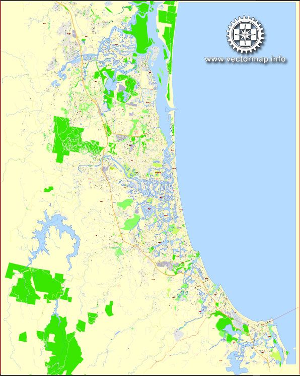
The Gold Coast, located in the southeast corner of Queensland, Australia, is a popular tourist destination known for its beautiful beaches, entertainment options, and vibrant atmosphere. Here are some of the principal streets and roads in the Gold Coast:
- Gold Coast Highway:
- The main coastal road that runs parallel to the shoreline, connecting many of the major suburbs and attractions.
- It passes through popular areas such as Southport, Surfers Paradise, Broadbeach, and Burleigh Heads.
- Pacific Motorway (M1):
- A major freeway that connects the Gold Coast to Brisbane and other parts of the state.
- It provides quick and efficient transportation between the two cities.
- Surfers Paradise Boulevard:
- Located in the heart of Surfers Paradise, this boulevard is known for its shopping, dining, and entertainment options.
- Nerang-Broadbeach Road:
- Links the suburb of Nerang to Broadbeach and is an important route for those traveling between the hinterland and the coast.
- Bermuda Street:
- Runs through the southern part of the Gold Coast, connecting suburbs like Mermaid Waters, Burleigh Waters, and Robina.
- Smith Street Motorway:
- Connects the Pacific Motorway to Southport and is a key route for accessing the northern parts of the Gold Coast.
- Nerang Street:
- A prominent street in Southport, hosting various businesses, shops, and restaurants.
- Robina Parkway:
- Connects Robina to the Pacific Motorway and is a major road in the central part of the Gold Coast.
- Reedy Creek Road:
- Connects the Pacific Motorway to suburbs like Burleigh Heads and Varsity Lakes.
- Brisbane Road:
- Runs through Labrador and Biggera Waters, connecting Southport to the northern suburbs.
- Highland Park Drive:
- A key road in the Highland Park area, providing access to the hinterland.
- Hooker Boulevard:
- Located in Broadbeach Waters, it is known for its residential neighborhoods and proximity to the Gold Coast Convention and Exhibition Centre.
These are just a few of the principal streets and roads on the Gold Coast. The city’s road network is well-developed, making it easy for residents and visitors to navigate between the coastal areas and the hinterland.


 Author: Kirill Shrayber, Ph.D. FRGS