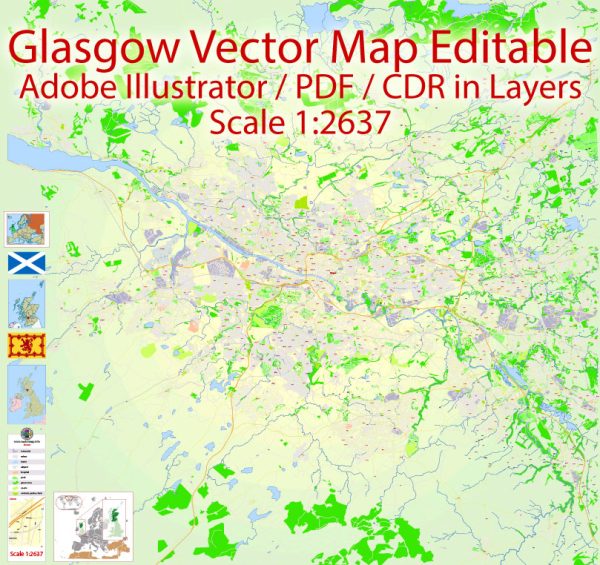
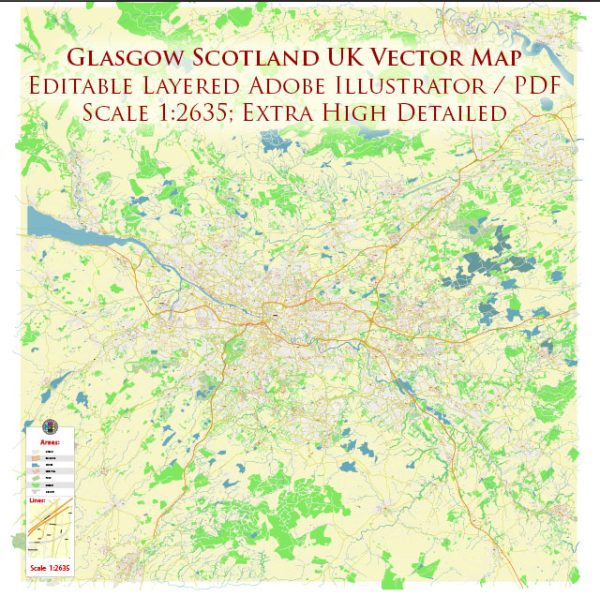
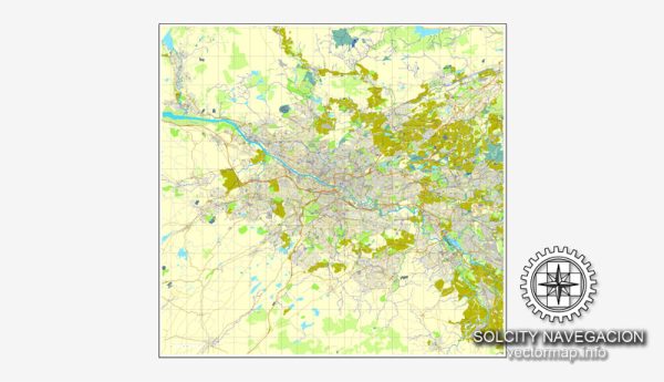
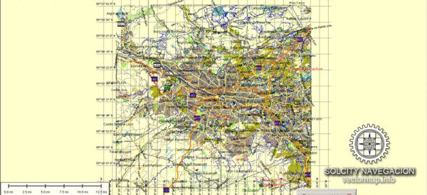
Glasgow, Scotland, is a vibrant city with a rich history and a network of principal streets and roads. While it’s challenging to provide an exhaustive list, I can highlight some of the major streets and roads in the city:
- Sauchiehall Street: One of Glasgow’s main shopping streets, Sauchiehall Street is known for its shops, theaters, and nightlife.
- Buchanan Street: Another popular shopping destination, Buchanan Street is pedestrianized and lined with high-end shops, restaurants, and cafes.
- Argyle Street: This street runs parallel to Buchanan Street and is also a major shopping area with a mix of retail stores and dining options.
- George Square: While not a street, George Square is a central square surrounded by important buildings and is often used for events and gatherings.
- Byres Road: Located in the West End of Glasgow, Byres Road is a bohemian area with trendy shops, cafes, and cultural venues.
- Great Western Road: Connecting the West End to the city center, Great Western Road is a busy route with a mix of residential areas, shops, and restaurants.
- St. Vincent Street: This is one of the city’s primary thoroughfares, featuring a blend of commercial buildings, offices, and restaurants.
- High Street: Running through the heart of the historic Glasgow, the High Street is lined with medieval and Victorian architecture, including Glasgow Cathedral and the Necropolis.
- Trongate: An important street in the Merchant City area, Trongate is known for its arts and cultural venues, including the Tron Theatre.
- Clyde Street: Running along the River Clyde, this street provides views of the iconic Clyde Arc bridge and is home to various maritime-related activities.
- Dumbarton Road: Connecting the West End to Partick and beyond, Dumbarton Road is a bustling street with shops, pubs, and restaurants.
- Shettleston Road: Located in the East End, Shettleston Road is a significant thoroughfare with a mix of residential and commercial properties.
Remember that Glasgow has a comprehensive public transportation system, including buses and the Glasgow Subway, making it easy to navigate the city. This list is not exhaustive, and there are many more streets and roads that contribute to Glasgow’s diverse and dynamic urban landscape.


 Author: Kirill Shrayber, Ph.D. FRGS