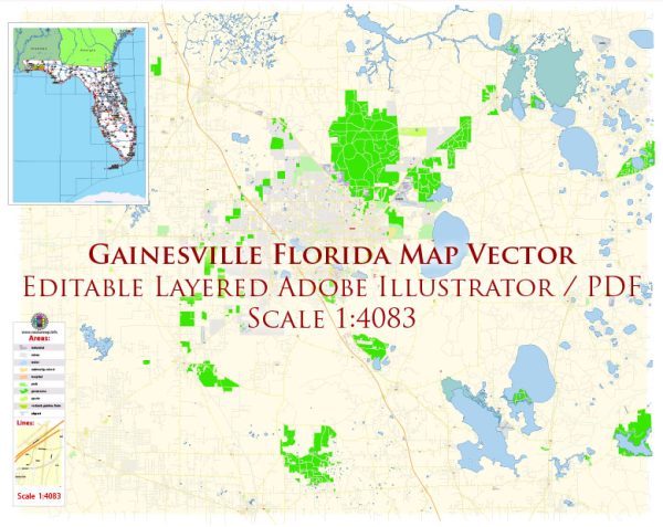
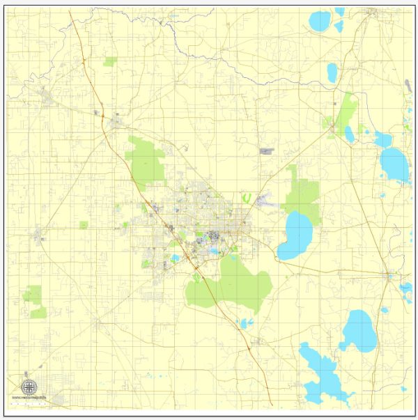
Gainesville, Florida, is a city with a well-planned street grid, and several principal streets and roads serve as key arteries for transportation within the city. Here are some of the major streets and roads in Gainesville:
- University Avenue: This is one of the main thoroughfares in Gainesville, running east-west through the heart of the city. It is home to the University of Florida and passes through the downtown area, making it a bustling and important street.
- 13th Street (Southwest 13th Street): Running north-south, 13th Street is a major commercial corridor and is known for hosting many businesses, shops, and restaurants. It is also a key route for accessing the University of Florida campus.
- Archer Road: Connecting the University of Florida to the southwestern part of the city, Archer Road is a significant east-west artery. It is home to the Butler Plaza shopping area and provides access to major medical facilities, including UF Health Shands Hospital.
- Main Street: Located in downtown Gainesville, Main Street is a historic thoroughfare with a mix of shops, restaurants, and cultural attractions. It intersects with University Avenue and is part of the city’s historic district.
- Newberry Road: Running west from downtown Gainesville, Newberry Road is an important route that connects the city to the neighboring town of Newberry. It also provides access to the Oaks Mall and various residential areas.
- Northwest 39th Avenue: This road runs east-west and is a key route for accessing areas in the northwest part of Gainesville. It intersects with I-75 and is lined with businesses, residential areas, and educational institutions.
- Williston Road: Connecting the eastern and western parts of Gainesville, Williston Road is an east-west corridor that provides access to the Gainesville Regional Airport and various commercial and residential areas.
- Hawthorne Road (State Road 20): Running east from downtown, Hawthorne Road is a major route that connects Gainesville to the town of Hawthorne and eventually leads to the historic Cross Creek area.
- SW 34th Street: Running north-south, this street is known for its commercial developments and shopping centers. It connects the southwestern part of the city to the University of Florida campus.
- Tower Road: Located in the southwest part of Gainesville, Tower Road is a key route that provides access to residential areas and businesses.
These are just some of the principal streets and roads in Gainesville, and the city has a well-connected network of roads that facilitate easy navigation and transportation. Keep in mind that road networks may evolve over time, so it’s always a good idea to check for the latest maps and navigation information.


 Author: Kirill Shrayber, Ph.D. FRGS