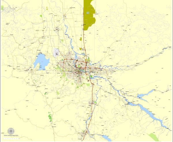
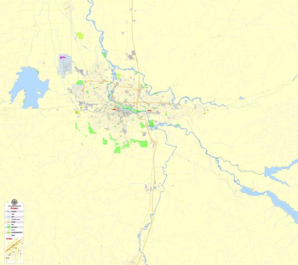
A general overview of the transportation systems in Eugene and Springfield, Oregon.
Eugene:
- Public Transportation:
- Lane Transit District (LTD): LTD operates the public transit system in the Eugene-Springfield area, providing bus services throughout the cities and surrounding areas.
- Bicycling:
- Eugene is known for being bike-friendly, with numerous bike paths, lanes, and bike-sharing programs. The city promotes cycling as a sustainable and healthy mode of transportation.
- Roads and Highways:
- Interstate 5 (I-5) passes through Eugene, connecting it to other major cities in the region.
- Other major roads and highways include Oregon Route 99, Oregon Route 126, and Beltline Road.
- Airport:
- Eugene Airport (Mahlon Sweet Field) provides air travel services to the region.
- Rail:
- Freight rail services are available, but passenger rail options are limited.
Springfield:
- Public Transportation:
- Springfield is also served by the Lane Transit District (LTD) bus system, connecting it to Eugene and other parts of the region.
- Roads and Highways:
- Springfield is well-connected by roads and highways, including Interstate 5, Oregon Route 126, and other local roads.
- Bicycling:
- Similar to Eugene, Springfield promotes bicycling with dedicated bike paths and lanes.
- Airport:
- Springfield shares the Eugene Airport (Mahlon Sweet Field) for air travel services.
- Rail:
- Like Eugene, Springfield primarily has freight rail services, with limited passenger rail options.
Both cities are known for their efforts to promote sustainable and alternative transportation options. They have worked on developing infrastructure and initiatives to encourage walking, cycling, and the use of public transit. Additionally, efforts to reduce traffic congestion and improve overall transportation efficiency have been ongoing.
For the most current and detailed information, it’s recommended to check with local transportation authorities, city websites, or recent publications regarding transportation in Eugene and Springfield.


 Author: Kirill Shrayber, Ph.D. FRGS