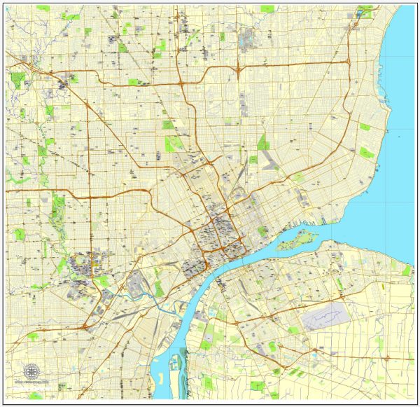
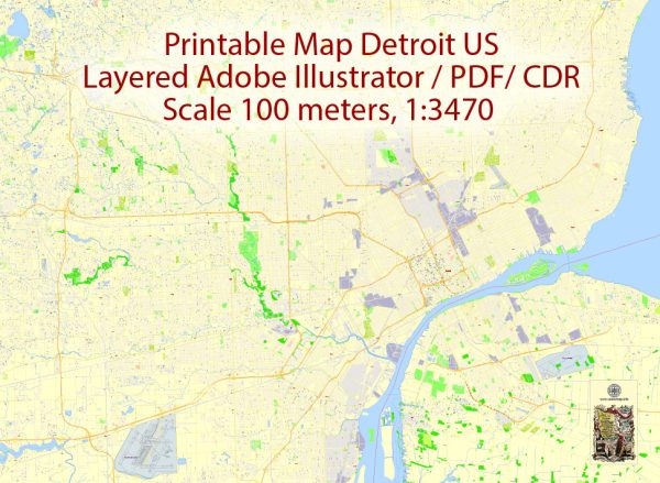
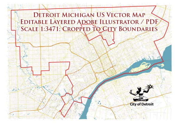
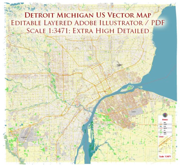
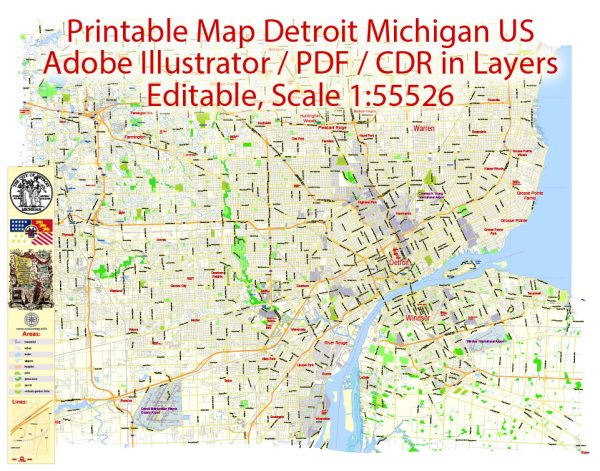
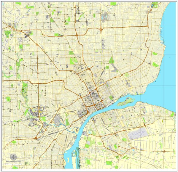
Detroit, Michigan, is located in the southeastern part of the state and is known for its proximity to the Detroit River, which connects Lake St. Clair and Lake Erie. Here’s a description of some principal waterways and main roads in the Detroit area:
Waterways:
- Detroit River: This is a major waterway that forms part of the international border between the United States and Canada. It connects Lake St. Clair to the north and Lake Erie to the south.
- Lake St. Clair: While not directly within the city, Lake St. Clair is located to the north of Detroit and is an important body of water in the region. It is connected to the Detroit River by the Detroit River North Channel.
Main Roads:
- Interstate 75 (I-75): I-75 is a major north-south interstate highway that runs through Detroit. It connects the city with other major cities in the region, including Toledo, Ohio, to the south and Flint and Saginaw to the north.
- Interstate 94 (I-94): This interstate highway runs east-west through Detroit and is a key route connecting the city with Chicago to the west and Port Huron to the east.
- Interstate 96 (I-96): I-96 is an east-west interstate that passes through the northern suburbs of Detroit, connecting the city with Lansing and Grand Rapids.
- M-10 (Lodge Freeway): The Lodge Freeway is a north-south freeway that provides access to downtown Detroit and connects with I-696 in the northern suburbs.
- M-8 (Davison Freeway): The Davison Freeway is an east-west freeway that intersects with I-75 and provides access to the northern parts of Detroit.
- Jefferson Avenue: This is a major east-west thoroughfare that runs along the Detroit River, providing access to waterfront areas and connecting downtown Detroit with the eastern suburbs.
- Woodward Avenue: Woodward is one of the city’s main north-south streets, running from downtown Detroit through the northern suburbs. It is known for its historic significance and cultural institutions.
These are just a few of the principal waterways and main roads in Detroit. The city’s transportation infrastructure plays a crucial role in connecting it to the surrounding region and beyond.

 Author: Kirill Shrayber, Ph.D. FRGS