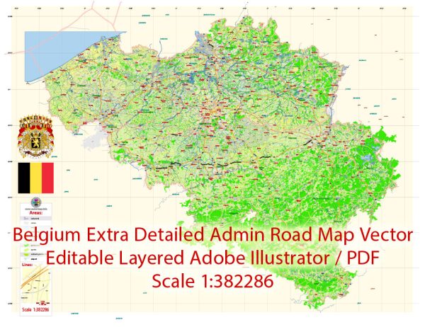
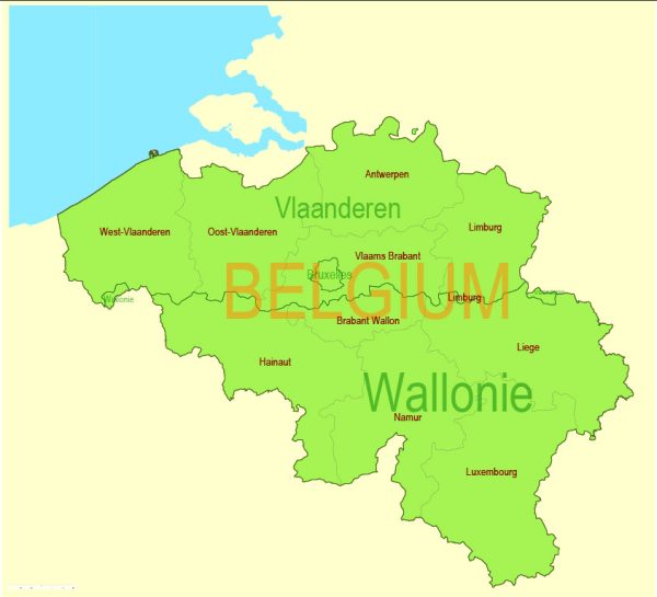
Belgium, a country located in Western Europe, has a well-developed network of waterways and railroads that play a crucial role in its transportation infrastructure. Here’s a brief description of the principal waterways and railroads in Belgium:
Waterways:
- Port of Antwerp: The Port of Antwerp is one of the largest and busiest seaports in Europe. It is situated on the Scheldt River and serves as a major gateway for international trade. The port facilitates the transportation of goods by water to and from various parts of the world.
- Albert Canal: Connecting the major cities of Antwerp and Liège, the Albert Canal is an important artificial waterway in Belgium. It plays a significant role in inland navigation, providing a direct route for ships between the Port of Antwerp and the industrial regions of Liège.
- Meuse River: The Meuse River (Maas in Dutch) flows through Belgium, and its navigable sections contribute to inland shipping and transportation. It passes through cities such as Namur and Liège, playing a role in both commercial and recreational navigation.
- Ghent-Terneuzen Canal: This canal connects the Belgian city of Ghent with the Dutch port of Terneuzen, providing an important link for shipping between Belgium and the Netherlands.
Railroads:
- Belgian National Railway (SNCB/NMBS): The Belgian National Railway is the state-owned railway company in Belgium. It operates an extensive network of railways connecting major cities and towns. The railway system is known for its efficiency and connectivity, making it a vital mode of transportation for both passengers and freight.
- High-Speed Rail (Thalys and Eurostar): Belgium is well-connected to the high-speed rail network in Europe. The Thalys and Eurostar services link Belgium with neighboring countries, providing fast and convenient travel to cities like Paris, Amsterdam, London, and Cologne.
- Antwerp Central Station: Antwerp Central Station is one of the main railway hubs in Belgium and a significant architectural landmark. It serves as a major transportation hub for both domestic and international train services.
- Brussels-South (Bruxelles-Midi) Station: Located in the capital city, Brussels-South is another major railway station that connects Belgium to various European destinations. It is a key hub for both high-speed and conventional train services.
The combination of well-developed waterways and railroads contributes to Belgium’s efficient and integrated transportation system, supporting its role as a key player in European trade and commerce.


 Author: Kirill Shrayber, Ph.D. FRGS