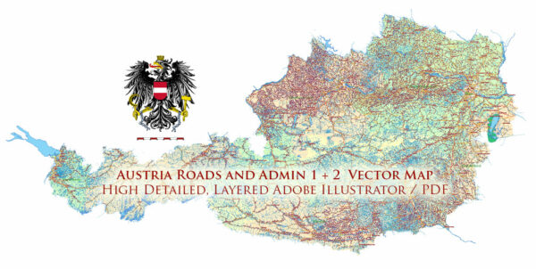
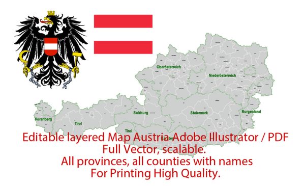
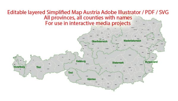
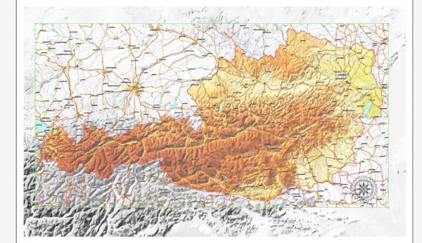
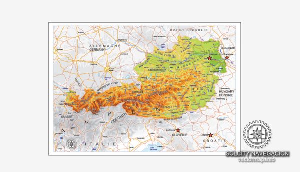
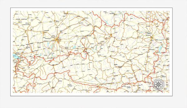
Principal roads and railroads in Austria, a general overview of Austria’s transportation infrastructure based on common knowledge.
Roads: Austria has a well-developed road network, and its highways are known as “Autobahnen.” The country’s road infrastructure is efficient and maintained to high standards. Major Autobahnen connect cities and regions, facilitating transportation and commerce. Some notable highways include the A1, A2, A4, and A10. The road network is known for its picturesque routes through the Austrian Alps.
Railroads: Austria has an extensive and efficient railway system managed by the Austrian Federal Railways (Österreichische Bundesbahnen or ÖBB). The railway network connects major cities and towns, offering both domestic and international services. Vienna, the capital, is a central hub for train travel, with connections to various European destinations. The Semmering Railway, a UNESCO World Heritage Site, is a notable example of Austria’s historic railway infrastructure.
For the most current and detailed information, I recommend checking with official sources such as the Austrian Ministry of Transport, Infrastructure, and Technology or relevant local authorities.

 Author: Kirill Shrayber, Ph.D. FRGS