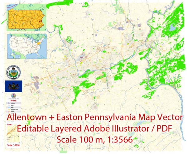
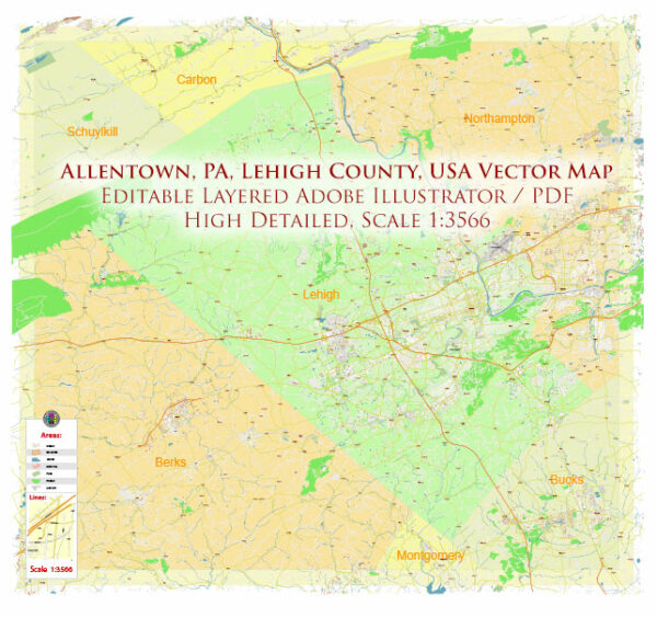
A general overview of the principal streets and roads in the Allentown and Easton areas in Pennsylvania. Here are some key streets and roads:
Allentown, Pennsylvania:
- Hamilton Street: One of the main east-west thoroughfares in downtown Allentown, known for its businesses, shops, and restaurants.
- 7th Street: Another important north-south street, intersecting with Hamilton Street and connecting various neighborhoods.
- Lehigh Street: Runs south from downtown Allentown and is a major commercial and residential corridor.
- Cedar Crest Boulevard: A significant north-south route, particularly in the western part of Allentown, passing through residential and commercial areas.
- American Parkway: Connects downtown Allentown with Route 22, providing an important transportation route.
Easton, Pennsylvania:
- Northampton Street (Route 248): Main street running through downtown Easton, hosting shops, restaurants, and historical landmarks.
- Larry Holmes Drive: Runs along the Delaware River and offers scenic views of the waterfront and connects to major bridges.
- Easton-Phillipsburg Toll Bridge: Connects Easton with Phillipsburg, New Jersey, spanning the Delaware River.
- Route 22: A major east-west highway that passes through both Allentown and Easton, serving as a key transportation route.
- Route 611: Runs north-south and passes through Easton, providing access to nearby communities and points of interest.
Remember that this is a general overview, and roadways can be subject to changes and developments. For the most accurate and current information, consider using online mapping services, GPS devices, or consulting local transportation authorities.


 Author: Kirill Shrayber, Ph.D. FRGS