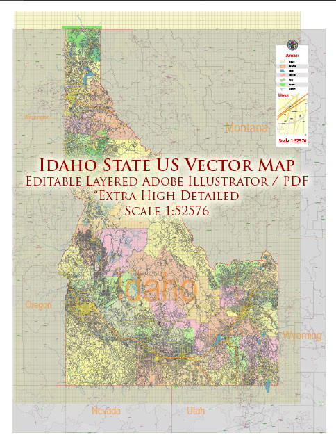
Idaho is a state located in the northwestern region of the United States. Known for its diverse landscapes, including mountains, forests, and vast plains, Idaho offers a mix of outdoor recreational opportunities and vibrant communities. Here are some of the main cities and towns in Idaho, along with brief descriptions:
- Boise:
- Boise is the capital and largest city of Idaho.
- It sits in the southwestern part of the state and is known for its outdoor activities, including hiking and biking trails along the Boise River.
- The city has a vibrant cultural scene, with museums, theaters, and a lively downtown area.
- Meridian:
- Adjacent to Boise, Meridian is one of the fastest-growing cities in Idaho.
- It offers a mix of residential and commercial areas, with parks, shopping centers, and family-friendly neighborhoods.
- Nampa:
- Nampa is located in the southwestern part of the state, near Boise.
- It has a strong agricultural presence and hosts events like the Snake River Stampede, a popular rodeo.
- Idaho Falls:
- Situated in the eastern part of the state, Idaho Falls is known for its proximity to Yellowstone National Park and the Grand Teton National Park.
- The Snake River runs through the city, and the Idaho Falls Greenbelt offers scenic views and recreational opportunities.
- Pocatello:
- Located in southeastern Idaho, Pocatello is a regional hub with a strong emphasis on education and industry.
- It is home to Idaho State University and offers outdoor activities in the nearby mountains and forests.
- Coeur d’Alene:
- Nestled in the northern part of the state, Coeur d’Alene is known for its stunning lake and outdoor recreational opportunities.
- The city has a charming downtown area, a popular resort, and a picturesque waterfront.
- Twin Falls:
- Found in south-central Idaho, Twin Falls is named after the nearby waterfalls on the Snake River.
- The city is known for its agricultural contributions and outdoor activities, such as BASE jumping from the Perrine Bridge.
- Lewiston:
- Located in north-central Idaho, Lewiston is situated at the confluence of the Snake and Clearwater Rivers.
- It serves as a gateway to Hells Canyon, and the city has a mix of outdoor recreation and cultural attractions.
- Rexburg:
- Rexburg is a city in eastern Idaho and is home to Brigham Young University-Idaho.
- It has a strong focus on education and a family-friendly atmosphere.
These descriptions provide a glimpse into the diversity of cities and towns across Idaho, each with its unique character and attractions.


 Author: Kirill Shrayber, Ph.D. FRGS