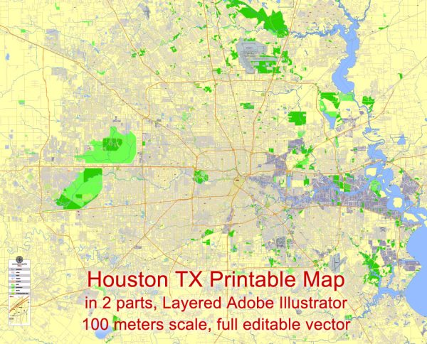
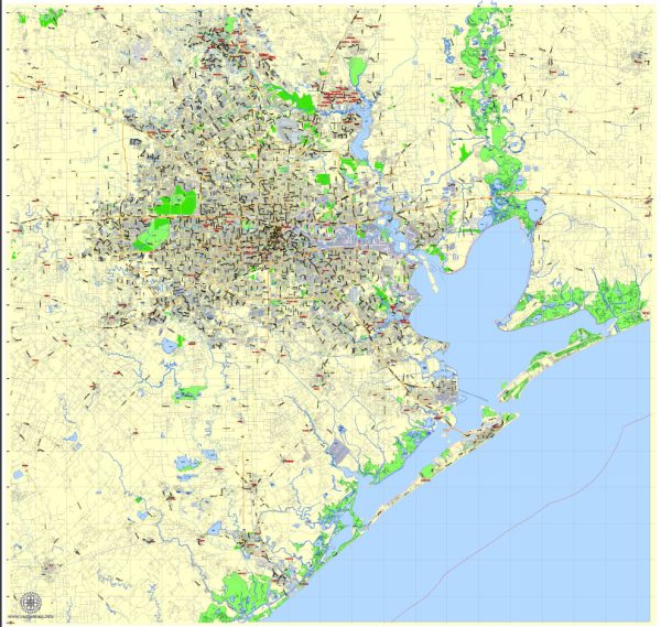
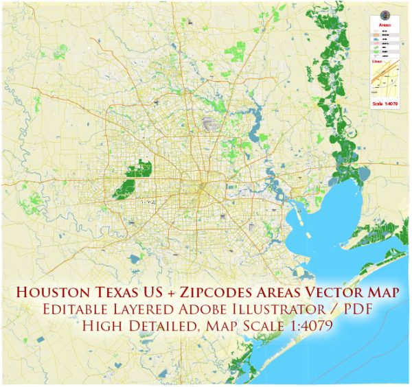
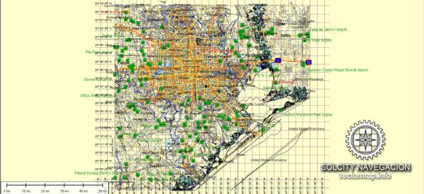
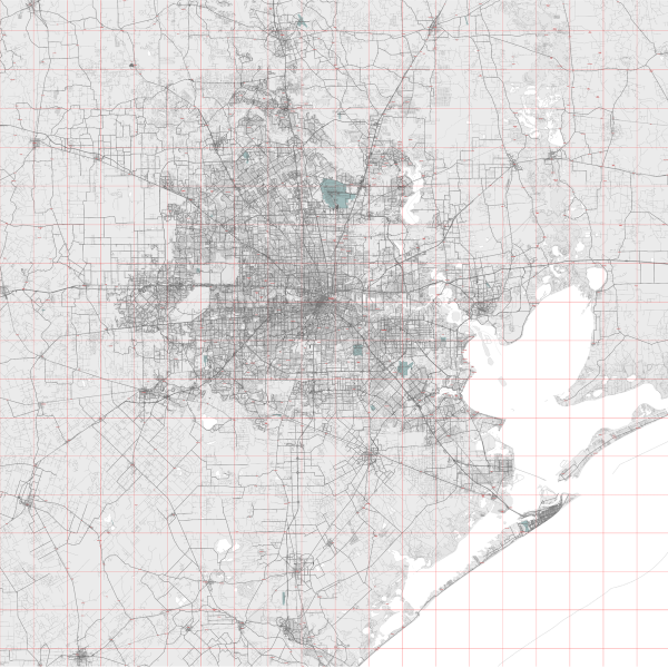
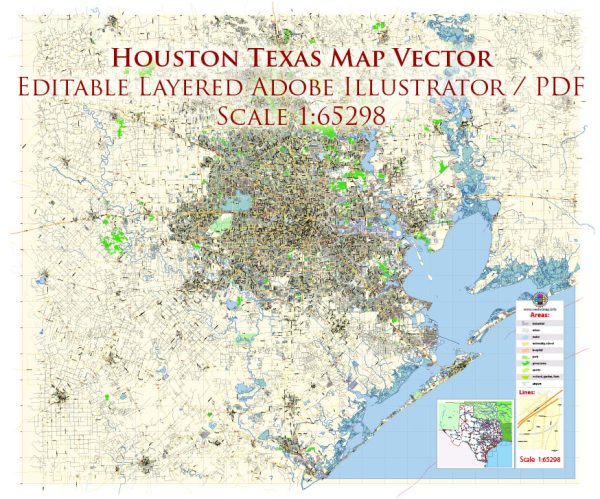
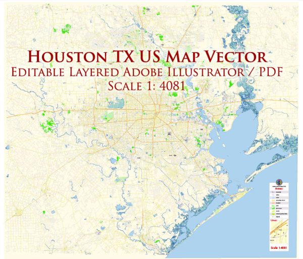
Houston, Texas, is a vast and sprawling city with a complex network of streets and roads. Here are some of the principal streets and roads in Houston:
- Interstate 10 (I-10): One of the major east-west highways, I-10 traverses Houston from the west (coming from San Antonio) to the east (towards Beaumont). It passes through the downtown area and is a crucial route for commuters and travelers.
- Interstate 45 (I-45): Running north-south, I-45 connects Houston to Dallas to the north and Galveston to the south. It is a key route for both local and long-distance travel.
- Loop 610 (I-610): Also known as “The Loop,” I-610 is a roughly 38-mile loop that encircles the inner city of Houston. It connects various neighborhoods and is a vital route for navigating around the city.
- US Highway 59 (I-69): This north-south highway connects Houston to cities like Victoria, Laredo, and points north. It is a significant transportation corridor for both local and long-distance traffic.
- Westheimer Road: A major east-west thoroughfare, Westheimer Road is known for its commercial areas, shopping centers, and diverse dining options. It extends from the western suburbs into the heart of Houston.
- Memorial Drive: Running parallel to Buffalo Bayou, Memorial Drive is a scenic route that connects the western suburbs to downtown Houston. It passes through areas with parks, residential neighborhoods, and cultural institutions.
- Richmond Avenue: Another important east-west street, Richmond Avenue extends from the Galleria area to the west, passing through neighborhoods like River Oaks and Montrose. It is lined with businesses, restaurants, and residential areas.
- Allen Parkway: Running along the northern edge of downtown Houston, Allen Parkway provides a scenic route with views of Buffalo Bayou. It connects downtown to the western neighborhoods and Memorial Drive.
- Beltway 8 (Sam Houston Tollway): This is an outer loop highway that encircles the greater Houston area. It provides a route for drivers who want to bypass the inner city or travel between different suburban areas.
- Texas State Highway 288: Connecting downtown Houston to the southern suburbs and the Texas Medical Center, SH 288 is an important north-south route.
- Ella Boulevard: This north-south street passes through several neighborhoods, including the Heights, and is known for its local businesses and residential areas.
These are just a few examples, and Houston’s road network is extensive. The city is known for its large blocks, diverse neighborhoods, and a grid system that makes navigation relatively straightforward despite its size.

 Author: Kirill Shrayber, Ph.D.