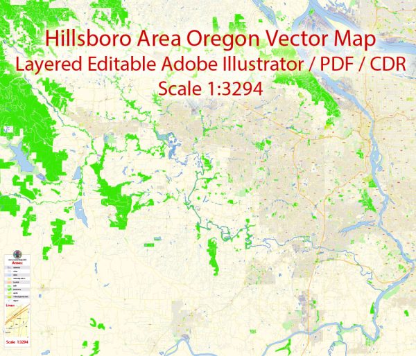
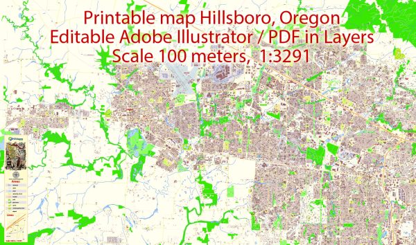
Hillsboro, Oregon, is a city located in Washington County, in the western part of the state. The city has a well-planned street and road network that facilitates transportation within and around the area. Keep in mind that roadways may change over time due to construction and development, so it’s advisable to use a current map or navigation system for real-time information. Here is a general description of some principal streets and roads in Hillsboro:
- Tualatin Valley Highway (TV Highway): This is a major east-west thoroughfare that runs through Hillsboro, connecting the city to neighboring communities. It’s an essential route for both local and regional traffic.
- Cornelius Pass Road: This road runs north-south and serves as a significant connector between Hillsboro and the surrounding areas. It provides access to residential neighborhoods, commercial areas, and industrial zones.
- Baseline Road: Another important east-west road, Baseline Road intersects with TV Highway and runs through the heart of Hillsboro. It’s a key route for local traffic and offers access to various businesses and residential areas.
- Brookwood Parkway: This road is known for its connectivity and serves as a key transportation corridor, linking different parts of Hillsboro. It runs north-south and intersects with major east-west roads.
- E Main Street: Located in the downtown area, East Main Street is a central road with shops, restaurants, and cultural attractions. It’s an essential part of Hillsboro’s urban landscape.
- SE Tualatin Valley Highway: Running parallel to TV Highway, this road is located in the southeastern part of Hillsboro and provides access to residential neighborhoods and commercial districts.
- NE Cornell Road: Connecting the eastern and western parts of Hillsboro, Cornell Road is an important route for local traffic. It intersects with major roads like Brookwood Parkway and Cornelius Pass Road.
- NW 185th Avenue: This north-south road is significant for local traffic and connects various neighborhoods and commercial areas in the northern part of Hillsboro.
- SE 10th Avenue: Running south of downtown Hillsboro, this road is part of the local street network and provides access to residential neighborhoods.
- NE 25th Avenue: Located in the northeastern part of Hillsboro, this road is another example of the local street network, connecting neighborhoods and providing access to nearby amenities.
These are just a few examples of the principal streets and roads in Hillsboro, and the city has a comprehensive network of streets connecting various neighborhoods, business districts, and recreational areas. For the most accurate and up-to-date information, it’s recommended to refer to current maps or GPS navigation systems.


 Author: Kirill Shrayber, Ph.D. FRGS