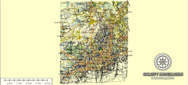
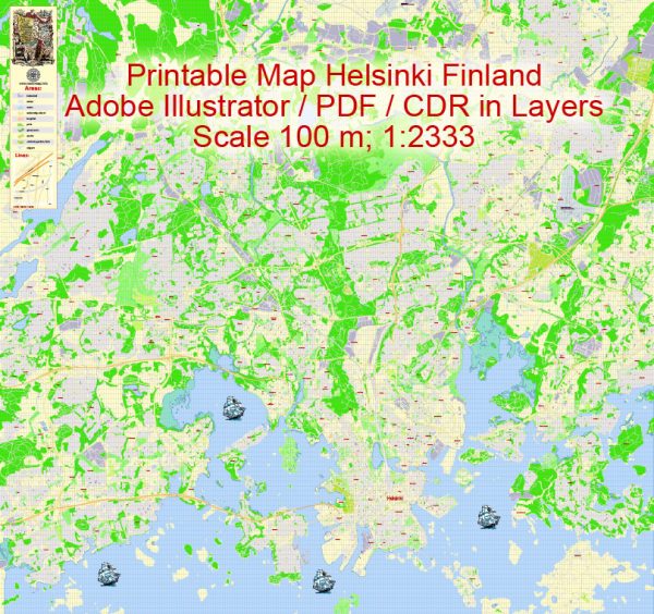
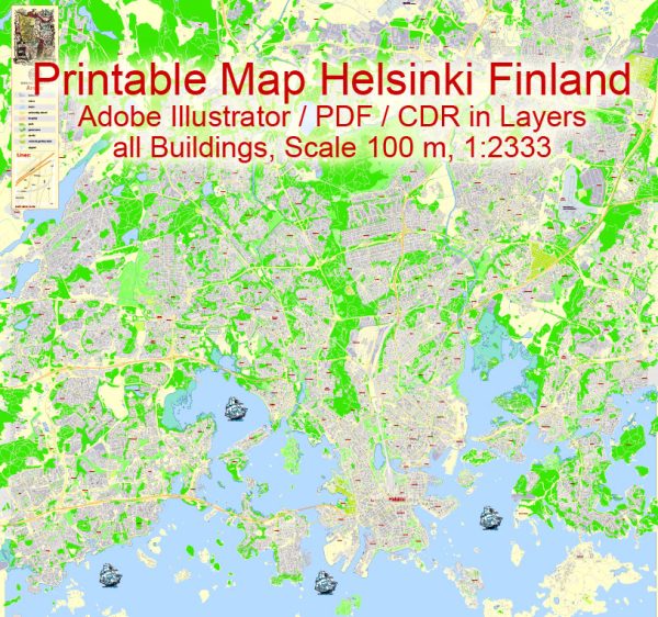
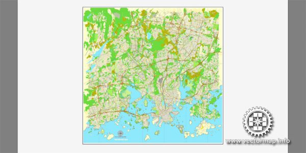
Helsinki, the capital and largest city of Finland, has a well-planned and organized street network. Here are some of the principal streets and roads in Helsinki:
- Mannerheimintie: This is one of the main streets in Helsinki and serves as a major north-south artery. It is named after Carl Gustaf Emil Mannerheim, a Finnish military leader and statesman. Along Mannerheimintie, you’ll find a mix of commercial buildings, shops, restaurants, and cultural institutions.
- Esplanadi: Running parallel to the shoreline, Esplanadi is a popular and elegant promenade in the heart of Helsinki. It’s lined with trees, benches, and upscale shops, making it a lovely place for a leisurely stroll.
- Aleksanterinkatu: Named after Tsar Alexander I of Russia, this street is another key shopping and commercial area in Helsinki. It intersects with Mannerheimintie and is home to many retail stores, cafes, and restaurants.
- Kallio district: While not a specific street, Kallio is a district in Helsinki known for its bohemian atmosphere. Helsinginkatu is a significant street in this area. Kallio is characterized by its diverse cultural scene, vintage shops, and vibrant nightlife.
- Hietaniemenkatu: This street leads to Hietaniemi Cemetery, one of the notable cemeteries in Helsinki. It is a peaceful area with a mix of residential buildings and green spaces.
- Pohjoisranta: Running along the northern waterfront, Pohjoisranta offers beautiful views of the Gulf of Finland. This area is known for its historic buildings, including the Presidential Palace, and is a popular destination for both locals and tourists.
- Länsiväylä: This is a major westward highway connecting Helsinki to the neighboring cities and regions. It plays a crucial role in the transportation network of the Helsinki metropolitan area.
- Ring I and Ring III: These are two important ring roads in the Helsinki region. Ring I encircles the city center, while Ring III is a larger ring road that connects various suburbs and municipalities around Helsinki.
- Hämeenkatu: Located in the Kallio district, Hämeenkatu is a lively street known for its diverse shops, restaurants, and cultural venues.
Keep in mind that Helsinki has an extensive network of streets and roads, and these are just a few examples. The city is known for its efficient public transportation system, including buses, trams, and the metro, making it easy to navigate and explore different areas.


 Author: Kirill Shrayber, Ph.D. FRGS