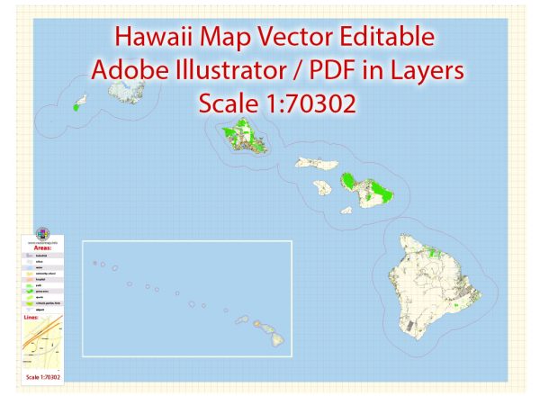
Hawaii, being an archipelago in the central Pacific Ocean, consists of several islands, each with its own unique geography and road network. Here’s a general description of some principal streets and roads on the main islands of Hawaii:
- Oahu:
- H-1 Interstate: This major highway runs east-west across the southern part of the island, connecting Honolulu with the western suburbs and the Leeward Coast.
- H-2 Interstate: Running north from Honolulu, H-2 connects with the central part of the island and serves areas like Mililani.
- H-3 Interstate: Starting in Aiea, H-3 runs through the Ko’olau Range, connecting windward Oahu with the rest of the island.
- Maui:
- Haleakalā Highway (Route 37): This highway leads to the summit of Haleakalā, Maui’s dormant volcano, offering stunning views.
- Honoapi’ilani Highway (Route 30): Running along the western coast, it connects Lahaina with other towns and resorts.
- Hawaii (Big Island):
- Queen Ka’ahumanu Highway (Route 19): This highway runs along the western coast of the Big Island, connecting Kailua-Kona to Hilo.
- Saddle Road (Route 200): Connecting Hilo on the east side with Kailua-Kona on the west, Saddle Road passes through the saddle between Mauna Kea and Mauna Loa.
- Kauai:
- Kaumuali’i Highway (Route 50): This east-west highway runs through the southern part of Kauai, connecting towns like Lihue and Hanapepe.
- Kuhio Highway (Route 56): Running along the northern coast, it offers access to beautiful beaches and the scenic Napali Coast.
These are just a few examples, and there are many more local roads and highways on each island. Additionally, road conditions and accessibility may be subject to change, especially due to weather events like tropical storms. Always check for the latest information before planning any travel.


 Author: Kirill Shrayber, Ph.D. FRGS