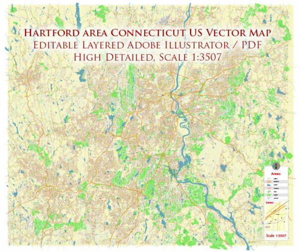
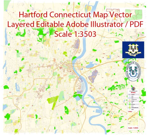
Hartford, the capital city of Connecticut, is known for its historic neighborhoods, cultural attractions, and diverse communities. Here are some principal streets and roads in Hartford:
- Main Street:
- Main Street is a central artery running through downtown Hartford, featuring a mix of commercial, retail, and cultural establishments. It’s home to various shops, restaurants, and theaters.
- Asylum Avenue:
- Asylum Avenue is a prominent east-west road that runs through the western part of Hartford. It passes through residential areas and is known for its historic architecture.
- Capitol Avenue:
- Capitol Avenue leads to the Connecticut State Capitol building. It’s an important road in the downtown area, hosting government buildings and institutions.
- Farmington Avenue:
- Farmington Avenue is a major thoroughfare running through the western part of the city. It connects the neighborhoods of Asylum Hill and West End, offering a mix of residential and commercial areas.
- Interstate 84 (I-84):
- I-84 is a major east-west interstate highway that passes through Hartford. It connects the city to other parts of Connecticut and neighboring states.
- Interstate 91 (I-91):
- I-91 is a north-south interstate highway that runs through Hartford, providing important connections to cities like Springfield, Massachusetts, and New Haven, Connecticut.
- Whitehead Highway (I-91/I-84):
- The Whitehead Highway is a short expressway connecting I-91 and I-84 in downtown Hartford. It facilitates east-west and north-south travel through the city.
- Park Street:
- Park Street is a vibrant and culturally rich street, known for its Hispanic community and a variety of shops, restaurants, and events.
- Wethersfield Avenue:
- Wethersfield Avenue is a major southbound route connecting Hartford with the town of Wethersfield. It passes through residential and commercial areas.
- Albany Avenue:
- Albany Avenue is an important east-west thoroughfare, known for its historic significance and diverse neighborhoods.
Remember that ongoing urban development or changes in infrastructure might alter the characteristics of these streets and roads. For the most accurate and up-to-date information, consider using online mapping services or GPS navigation tools.


 Author: Kirill Shrayber, Ph.D. FRGS