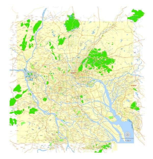
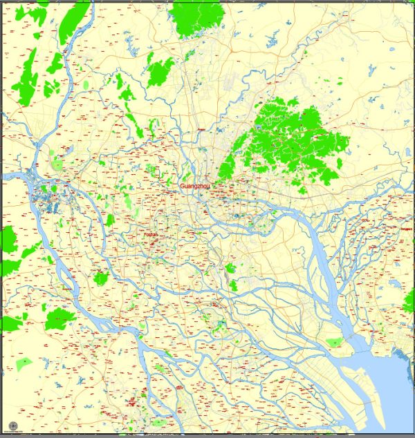
Guangzhou, one of China’s major cities, has a well-developed transportation system that includes various modes of transportation to facilitate the movement of people and goods. Here is an overview of the principal transportation systems in Guangzhou:
- Metro System:
- Guangzhou boasts an extensive and modern metro system that is a backbone of the city’s public transportation. The metro has multiple lines that connect different parts of the city, making it a convenient and efficient mode of transport for both residents and visitors.
- Buses:
- Guangzhou has an extensive bus network that covers virtually every corner of the city. The buses are a cost-effective means of transportation and play a crucial role in connecting areas that may not be directly served by the metro.
- Taxis:
- Taxis are readily available throughout Guangzhou and are a convenient option for those who prefer a more private mode of transportation. Taxis are metered, and the fares are relatively affordable compared to many Western cities.
- Trains:
- Guangzhou is a major transportation hub in Southern China, and it is well-connected to the national high-speed rail network. Guangzhou South Railway Station is a key transportation hub, offering high-speed train services to various cities across China.
- Air Transportation:
- Baiyun International Airport serves as Guangzhou’s primary airport. It is a major hub for domestic and international flights, connecting the city to various destinations globally.
- Water Transportation:
- The Pearl River runs through Guangzhou, and there are water taxis and ferries that operate on the river. While not the primary mode of transportation for most people, water transport can be a scenic and interesting way to travel.
- Bicycles:
- Guangzhou has implemented bike-sharing programs, providing an eco-friendly and healthy mode of transportation. Bicycles are available for rent at various locations across the city.
- Pedestrian Walkways:
- Many areas in Guangzhou have well-designed pedestrian zones, making it pedestrian-friendly. These areas often feature shops, restaurants, and cultural attractions, encouraging people to explore the city on foot.
- Road Network:
- Guangzhou has a well-developed road network, with modern highways and roads connecting different parts of the city and linking Guangzhou to neighboring cities and regions.
It’s essential to note that the transportation landscape may have evolved since my last update, and there could be new developments or changes in the system. For the most current information, it’s recommended to check with local transportation authorities or official sources.


 Author: Kirill Shrayber, Ph.D. FRGS