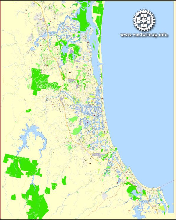
The Gold Coast in Australia is a popular tourist destination known for its beautiful beaches, vibrant nightlife, and various attractions. Here are some of the principal streets and roads in the Gold Coast:
- Gold Coast Highway: This is a major north-south arterial road that runs parallel to the coastline. It passes through several popular suburbs, including Southport, Surfers Paradise, Broadbeach, and Burleigh Heads.
- Pacific Motorway (M1): The M1 is the main highway connecting the Gold Coast to Brisbane and other parts of Queensland. It provides a quick and direct route for both local and interstate travel.
- Surfers Paradise Boulevard: Located in the heart of Surfers Paradise, this bustling boulevard is lined with shops, restaurants, and entertainment venues. It’s a central hub for tourists and locals alike.
- Nerang-Broadbeach Road: This road connects the suburb of Nerang to Broadbeach, passing through Carrara and other neighborhoods. It’s a key route for those traveling between the Hinterland and the coastal areas.
- Robina Parkway: Running through the suburb of Robina, this road is a major link between the Pacific Motorway and the Robina Town Centre, a large shopping and entertainment precinct.
- Bermuda Street: Located in the southern part of the Gold Coast, Bermuda Street connects Burleigh Heads to the Pacific Motorway, providing access to various residential and commercial areas.
- Hooker Boulevard: Situated in the Broadbeach Waters area, Hooker Boulevard is known for its waterfront properties and provides access to the Pacific Fair Shopping Centre.
- Brisbane Road: Running through the suburb of Labrador and Southport, Brisbane Road is a significant east-west road connecting the western parts of the Gold Coast to the coastline.
- Southport-Nerang Road: This road connects Southport to Nerang and serves as a key route for those traveling between the coast and the Hinterland.
- Gooding Drive: Running through the suburb of Merrimac, Gooding Drive is an important road that connects Robina to Carrara and provides access to various facilities and neighborhoods.
These are just a few examples of the principal streets and roads on the Gold Coast. The city’s road network is well-developed, making it easy for residents and visitors to navigate between the coastal areas and the Hinterland. Keep in mind that new developments and infrastructure projects may lead to changes in the road network over time.


 Author: Kirill Shrayber, Ph.D. FRGS