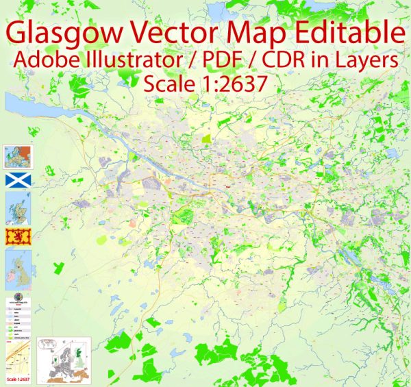
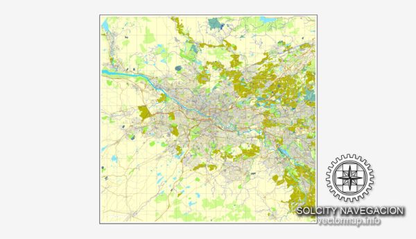
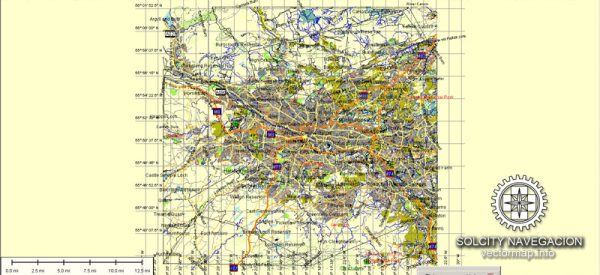
Glasgow, Scotland, a well-developed transportation system. Here’s an overview of the principal transportation systems in Glasgow:
- Public Transportation:
- Subway: Glasgow has a subway system, known as the Glasgow Subway. It is the third-oldest underground metro system in the world. The system consists of one circular line with 15 stations, connecting key areas of the city.
- Buses: The city is served by an extensive bus network operated by several companies. Buses cover various routes within the city and connect Glasgow to surrounding areas.
- Rail Services:
- Train Services: Glasgow is a major railway hub in Scotland. There are several train stations in the city, with Glasgow Central and Glasgow Queen Street being the main ones. These stations connect Glasgow to other cities and towns across the UK.
- Road Network:
- Roads and Highways: Glasgow has a comprehensive road network, with major motorways and roads connecting it to other parts of Scotland and the UK. The M8 motorway runs through the city, linking Glasgow with Edinburgh and other key destinations.
- Cycling:
- Cycle Paths: Glasgow has been working to improve cycling infrastructure, with dedicated cycle paths and bike lanes in and around the city. The Glasgow Bike Station and other initiatives promote cycling as an eco-friendly transportation option.
- Air Transport:
- Glasgow Airport: Located to the west of the city, Glasgow Airport is the primary international airport serving the region. It offers flights to various domestic and international destinations.
- Taxi Services:
- Taxis: Taxis are readily available in Glasgow and can be hailed on the street or booked through various taxi companies.
- Walking:
- Pedestrian Zones: Glasgow has pedestrian-friendly zones in the city center, making it easy for people to explore on foot. The city promotes walking as a sustainable mode of transportation.
- Future Developments:
- City Deal: Glasgow City Region City Deal is an agreement between the UK and Scottish governments and local authorities, aiming to invest in infrastructure projects, including transportation, to stimulate economic growth.


 Author: Kirill Shrayber, Ph.D. FRGS