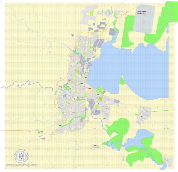
A general overview of Geelong’s transportation system. Geelong is a city located in the state of Victoria, Australia. Here are some key components of its transportation system:
- Roads and Highways:
- Geelong is well-connected by road, and the Princes Freeway (M1) serves as a major arterial road connecting it to Melbourne, Victoria’s capital.
- Local roads and highways facilitate transportation within the city and its surrounding areas.
- Public Transportation:
- Bus Services: Geelong has a network of bus services operated by organizations like Geelong Transit System and CDC Geelong.
- Train Services: The Geelong railway station is a major transport hub, providing train services to Melbourne and other regional areas.
- Rail Services:
- The Geelong railway station is a key transport hub that connects the city to Melbourne. The journey takes approximately an hour, making it a vital link for commuters.
- Port of Geelong:
- The Port of Geelong is one of the largest regional ports in Australia. It plays a crucial role in the transportation of goods and commodities, including bulk cargo and containerized freight.
- Airport:
- Avalon Airport, located near Geelong, serves as the region’s major airport. It handles both domestic and international flights, contributing to air transportation accessibility for residents and businesses.
- Active Transportation:
- Geelong has been working on improving facilities for pedestrians and cyclists, including dedicated pathways and bike lanes, promoting active transportation and reducing reliance on motor vehicles.
- Car Ownership:
- Like many Australian cities, private car ownership is common in Geelong, and the road network caters to motor vehicles.
- Infrastructure Development:
- Over the years, there have been ongoing infrastructure developments aimed at improving transportation efficiency and connectivity in the region.
It’s advisable to check for the latest updates from local authorities, as transportation systems can undergo changes and upgrades over time. For the most current and detailed information, you may refer to official websites of local transportation authorities or government agencies in Geelong.


 Author: Kirill Shrayber, Ph.D. FRGS