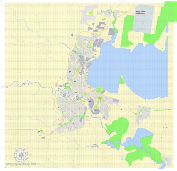
Geelong, located in the state of Victoria, Australia, is a city with a well-developed road network. Some of the principal streets and roads in Geelong include:
- Moorabool Street: This is one of the main streets in Geelong’s central business district (CBD). It is lined with shops, restaurants, and cafes and is a key thoroughfare for both pedestrians and vehicles.
- Ryrie Street: Another important street in the CBD, Ryrie Street intersects with Moorabool Street and is home to various businesses, shops, and entertainment venues.
- Malop Street: Known for its vibrant atmosphere, Malop Street is a popular location for shopping, dining, and entertainment. It is parallel to Ryrie Street and intersects with Moorabool Street.
- Pakington Street: Located in the suburb of Geelong West, Pakington Street is a well-known shopping and dining precinct with a mix of boutique stores, cafes, and restaurants.
- High Street: Running through the heart of Belmont, High Street is a significant road with various retail outlets, businesses, and amenities.
- Latrobe Terrace: Found in the suburb of Newtown, Latrobe Terrace is a tree-lined street with a mix of residential homes and local businesses.
- Bellarine Highway: Connecting Geelong to the Bellarine Peninsula, this highway is a major route that passes through suburbs like Newcomb and Moolap.
- Princes Highway: A major highway that passes through Geelong, connecting it to Melbourne and other parts of Victoria.
- Barwon Heads Road: Providing access to the coastal town of Barwon Heads, this road is an important route for those traveling to the Bellarine Peninsula.
- Waurn Ponds Drive: Running through the southern suburbs of Geelong, Waurn Ponds Drive is known for providing access to Waurn Ponds Shopping Centre and Deakin University’s Waurn Ponds campus.
These are just a few examples, and there are many other streets and roads that make up the comprehensive road network in and around Geelong. Keep in mind that the city’s infrastructure may change over time, so it’s always a good idea to check for the latest maps and information for the most accurate details.


 Author: Kirill Shrayber, Ph.D. FRGS